OMG Boston: Another Foot of Snow Is on the Way
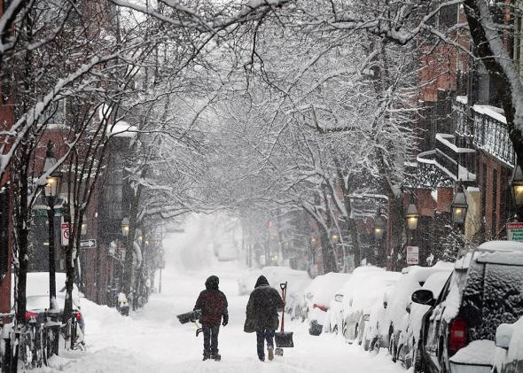
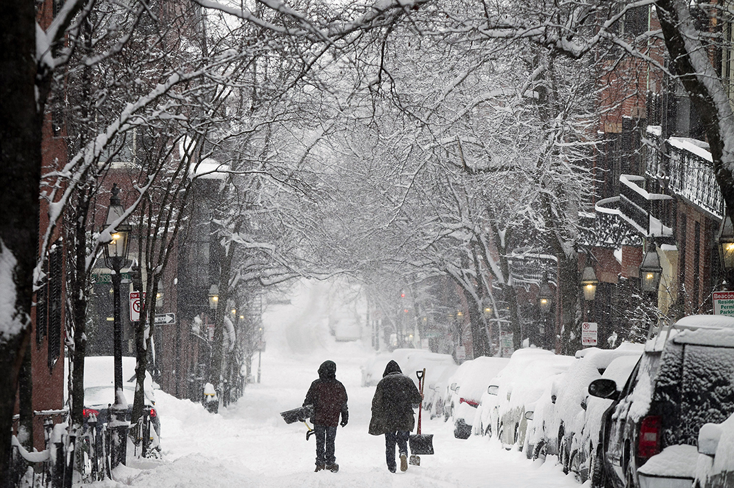
Photo by Dominick Reuter/Reuters
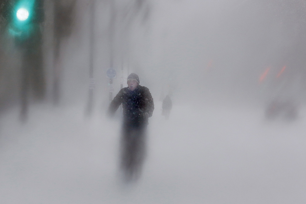
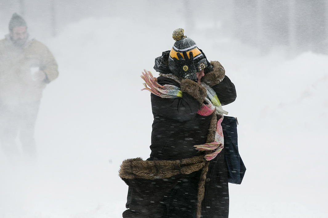
With wind chills as low as 12 below zero Fahrenheit in Boston, Friday was one of the coldest mornings in New England history. At this rate, Bostonians can only cherish their few unfrozen tears, because winter’s fury isn’t leaving anytime soon.
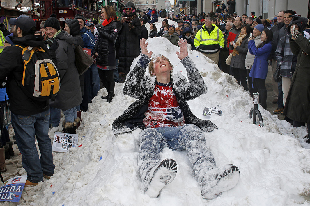
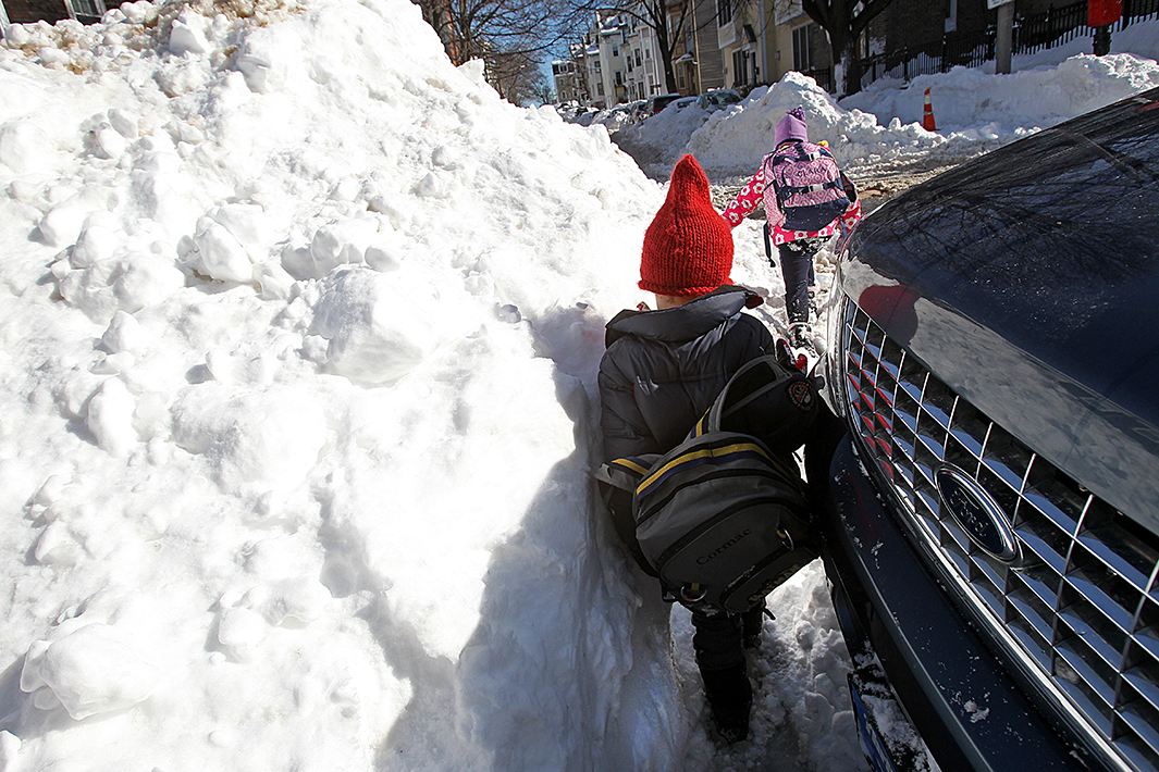
Friday’s bone-chilling cold will kick off another brutal stretch of winter weather for New England, which just endured its snowiest week in history—with four feet in 10 days in Boston. That’s 60 percent of a Gronkowski of snow. That’s a year’s worth of snow just since late January. As you can imagine, this has led to some surreal scenes across the region:
Perhaps the biggest snowman I have ever seen...from Dr. Anna in Stoughton pic.twitter.com/Eg6BipAjst
— Terry Eliasen (@TerryWBZ) February 2, 2015
This photo captioned 'Where the roof meets the yard'. From Dawn at the Rocky Neck Art Colony, Gloucester, MA. pic.twitter.com/N8U3khA6of
— Eric Fisher (@ericfisher) February 3, 2015
The city has rarely been tested like this in the winter, and its $18 million snow removal budget is soon to run out. The five snowiest 7-day stretches on record in Boston have all occurred since 1996, another data point of evidence that Northeast snowstorms are getting more intense, in part due to climate change.
So far this season, Boston snowplows have collectively travelled two-thirds of the distance from the Earth to the Moon in a quest to rid the city of the great white menace. Much of that snow has been loaded into dump trucks and piled in a giant “snow farm”—a vacant lot across the harbor from Logan Airport in the city’s Seaport District. There, bulldozers have worked tirelessly all week compacting the snow to try to make room for more.
And, more is on the way.
Weather models are locking in on a potentially long-duration snowfall event starting Saturday and lasting through Tuesday, which the National Weather Service says could bring “a foot or more” of fresh snow. A foot might not sound like that much, but remember: It’s a foot on top of what’s already on the ground.
A plume of subtropical moisture from a potent system currently impacting the Pacific Northwest will travel across the continent, and that moisture will turn into snow. The incoming storm system will be unusual for its longevity in New England. As it makes its way from the West Coast, the storm’s moisture will straddle a semi-stationary front stretching back towards Chicago, leading to a nearly continuous moderate snowfall for three full days for most of New England.
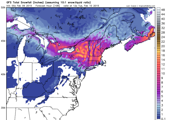
GFS model/Levi Cowan
Two more potential snowstorms are showing up on the longer-range horizon (one on Feb. 12th and one on the 15th), but these are less certain than this weekend’s long slog.
Regardless of what happens snow-wise mid-month, it’s going to be freezing then, with the cold likely sticking around for a week or so. The NWS warns of a “high risk” of “much below normal temperatures” during mid-February for much of the Northeast, with another round of sub-zero wind chills likely.
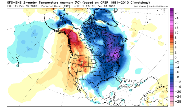
GFS model/Levi Cowan

