The drought break that Californians have been waiting for all winter is about to arrive: a series of storms bringing loads of rain and snow from the El Niño–fueled Pacific Ocean.
Over the next 10 days, beginning Friday, a series of Pacific storm systems will batter the California coastline, bringing intense tendrils of moisture northeastward from the deep tropical Pacific Ocean where El Niño has juiced the atmosphere’s energy. So far this winter, these storms have been largely directed on the Pacific Northwest, where on Tuesday, Seattle clinched its rainiest winter in history. That energy will now be directed squarely at California.
These storms are sometimes referred to as atmospheric rivers, or, more colloquially, as the “Pineapple Express” for their origins near Hawaii. The amount of moisture one of these storms contain is comparable to the flow of the Amazon River—and it now looks like California will get at least two big ones by midmonth, one this weekend and one next weekend. The event is such a big deal that for the first time ever, Air Force Hurricane Hunter aircraft will be dispatched into the atmospheric rivers, laden with scientific equipment to better understand what makes them tick.
Looking in detail at the two storms using the past three days of weather model output, a consistent signal has developed for tremendous amounts of precipitation. All 12 of the latest runs of the GFS model, the flagship weather model of the National Weather Service, show between 75 and 204 inches of snow (with an average of 130 inches) falling in parts of the Sierra over the next 10 days—half a year’s worth for most locations. More importantly, that snow would bring a lot of water—the equivalent to about 12 to 20 inches worth of rain in some mountain areas—when it melts over the coming warm season, enough to significantly stretch out the state’s water supply which is designed to siphon summer snowmelt from the mountains to the major cities.
As the state embarks on its fifth year of drought, the storms couldn’t come at a better time. Virtually 100 percent of the state remains in drought as of Thursday, as has been the case almost continuously since early 2012 when the current millennial-scale dry run began. An almost total lack of precipitation and exceptionally warm temperatures during February pushed the state back to drier-than-average conditions for the current rainy season—which was widely hoped to bring saving drought relief since El Niño years typically correlate with wet winters in California.
There’s some concern, though, that the storms might be too much of a good thing. At the top end, the series of storms could double the current snowpack in the Sierra, and fill Shasta Reservoir—the state’s largest and most important liquid water reserve—for the first time in years. These would be milestones almost too difficult to exaggerate in a state where every drop of water counts. The downside, of course, is the storms will create a risk of significant flooding. As of Friday afternoon, the first storm is expected to produce flooding conditions in only a single river in the state, the Navarro, north of the Bay Area. Additional rivers will likely go into flood stage when the second storm hits next weekend.
New research shows this drought-deluge-drought pattern in California may intensify with climate change, and as the state warms, future atmospheric rivers may wind up doing more harm than good by producing rain on top of the snowpack, quickening its melt rate.
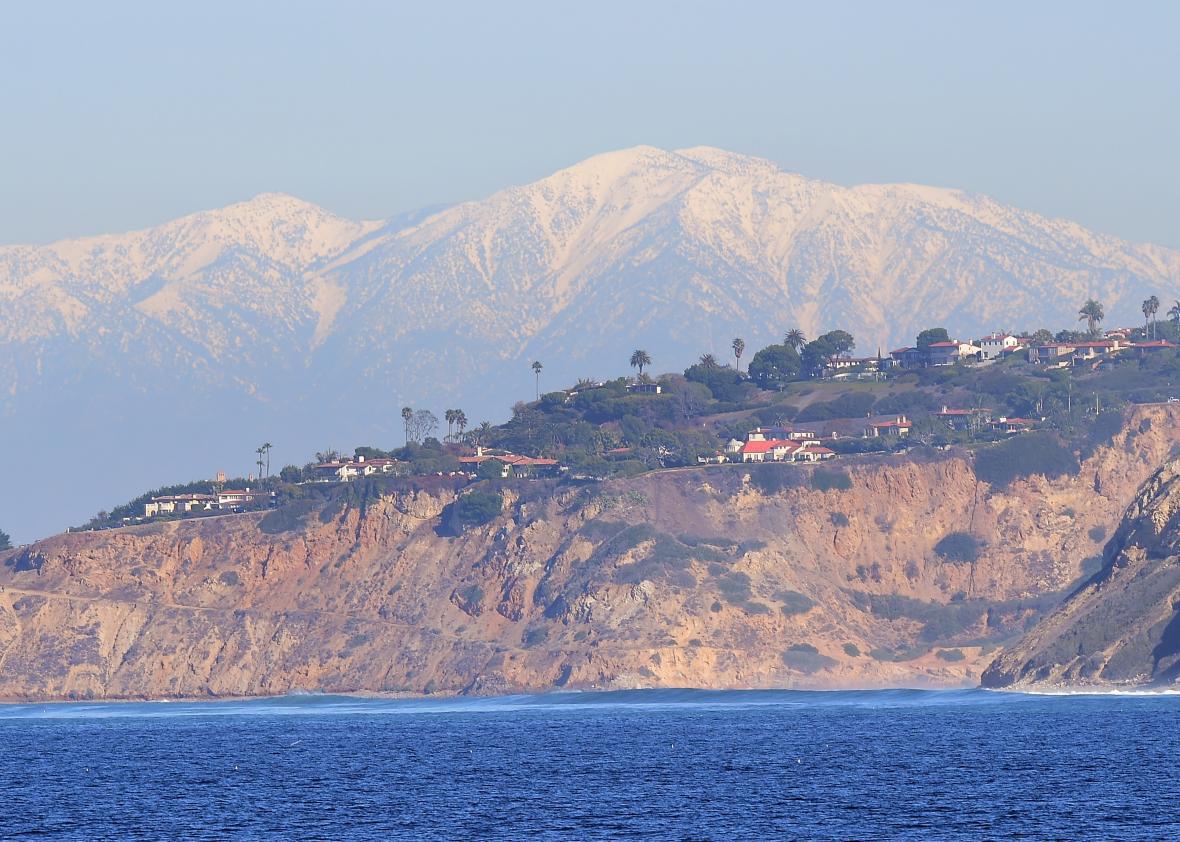
*Correction, March 7: A previous version of this post incorrectly described the San Gabriel Mountains as south of Los Angeles. They are north of Los Angeles.