This story originally appeared on Grist and is republished here with permission as part of Climate Desk.
October hurricanes aren’t supposed to be this scary.
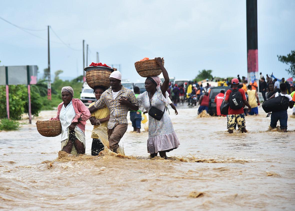
Hurricane Matthew plowed across Haiti on Tuesday as one of the strongest storms ever recorded at this time of year—and the most powerful to strike that country in half a century. The United Nations is calling it the worst humanitarian crisis to hit Haiti since the 2010 earthquake. After swiping Cuba on Wednesday morning, Matthew now threatens the southeastern United States, with potential landfall by this weekend.
Tropical storm season technically runs through November, but August and September—when ocean temperatures peak—are typically the major months of concern. By October, sea surface temps usually decline, reducing storm intensity. (Warm water = jet fuel for hurricanes.)
But CO2-heated oceans, combined with sea-level rise, could increase the danger of strong late-season storms. Recent studies suggest that tropical cyclones might become less frequent in a warmer world—but the ones we do get will be stronger and more damaging.
With surface temps currently at or above average for October, Matthew’s projected track is cause for alarm. The governors of Florida, Georgia, and both Carolinas have declared emergencies, with coastal evacuations—which could include millions of people—beginning Wednesday. Matthew might provide a very unwelcome October surprise.