For years, Houston has been the darling of certain urbanists and economists who have celebrated its robust growth, low housing prices, and multiculturalism. What makes Houston such an affordable place to live? In a word, deregulation: Houston is known, famously and misleadingly, as the only sizable city in the country with no single zoning code telling property owners what can be built where.
“Houston’s builders have managed—better than in any other American city—to make the case to the public that restrictions on development will make the city less affordable to the less successful,” Edward Glaeser wrote of the oil-and-gas boomtown in 2008. “Houston’s success shows that a relatively deregulated free-market city, with a powerful urban growth machine, can do a much better job of taking care of middle-income Americans than the more ‘progressive’ big governments of the Northeast and the West Coast.”
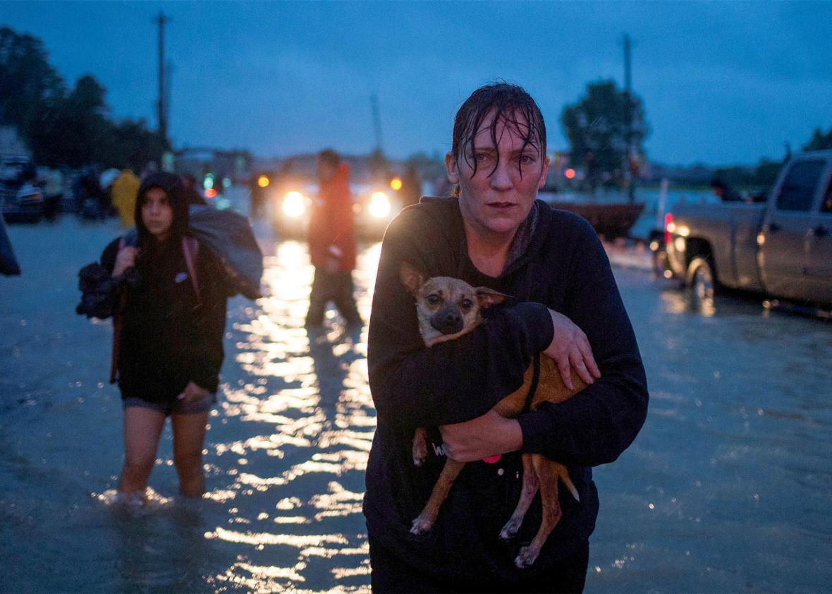
So, naturally, as Houston was subsumed by the largest rainstorm in American history, that exceptionalism became a focal point. Of course the jumbled, sprawling city where anyone could build anything anywhere turned out to be ill-suited for weathering a clash with Mother Nature.
This assumption has been baked into even well-sourced coverage of how Harvey has affected Houston: The Washington Post begins its story by describing Houston as “the largest U.S. city to have no zoning laws, part of a hands-off approach to urban planning that may have contributed to catastrophic flooding from Hurricane Harvey and left thousands of residents in harm’s way.”
That idea has loomed large enough during the storm that Houston Mayor Sylvester Turner felt compelled to respond. “Zoning wouldn’t have changed anything. We would have been a city with zoning that flooded,” he wrote on Wednesday. It’s an easy shorthand that conveys a sense of Houston as a free-for-all. As usual, the truth is more complicated.
The most important thing is this: No city is or should be designed to accommodate a one-in-a-million-year flood, which is what Harvey turned out to be. As Houston Chronicle writer Dylan Baddour put it last year, “Cars don’t have airbags to absorb a hit from a train.” If our probabilities about the likelihood of such storms are wrong because of climate change—and it sure seems they are—that’s a separate problem and one for which local planners shouldn’t be held accountable. After all, rural areas at the fringes of the Houston metro are also underwater.
That’s not to say flood-control planning in and around Houston has not been shortsighted. But zoning would not have saved Houston.
Houston is lightly regulated, and it’s true that it has no zoning code. But it has many laws that constitute zoning by another name: laws that say how much land is required to build a house; local covenants that determine building size and use; regulations that require new houses, offices, or restaurants to provide a certain amount of parking spaces; and rules that dictate how close new buildings may be to the street. A 21-story residential building in a central neighborhood was met with a seven-year legal battle that culminated in a judge awarding concerned neighbors $1.2 million from the developer.
Looks like zoning, smells like zoning. Houston very much resembles its Sun Belt peers. Its huge immigrant population and cultural offerings make it more fun than Dallas or Phoenix, but it doesn’t look all that different from above.
The land-use regulations that Houston does have actually encourage the greenfield-eating development that characterizes the city’s exurbs. That is what zoning looks like. The most anomalous land-use law in Houston might be the one enacted just before the millennium that shrank the minimum lot size to 1,400 square feet for areas inside the Interstate 610 loop. That change led to a spurt of townhouse development and urban density. Neighborhoods intent on combatting that densification have since enacted their own little requirements prohibiting subdivided lots. And so the city sprawls: The 100-square-mile area west of the Loop contains as many people as the Loop itself.
And by the way, there’s nothing about multifamily housing in dense neighborhoods that makes them particularly flood-proof. Row-house neighborhoods like the ones that fill Brooklyn or Philadelphia can be impossible to adapt to storm surges. Tall buildings where residents depend on elevators can become traps when the power fails.
But in the case of Houston, apartment living is the alternative to the sprawling subdivisions along the highways encircling the the city, homes whose front lawns were no substitute for the prairie they replaced. With exurban houses came huge roads, shopping centers, office parks, and parking lots. Legend has it there are 30 parking spaces per person in the Houston area. Harris County, which largely contains Houston, lost 15,855 acres of freshwater wetlands—30 percent of its total—between 1992 and 2010, according to a Texas A&M University analysis. That estimate is conservative; the real total could be as high as 45,000 acres, in just 18 years. By comparison, Central Park in Manhattan is 843 acres.
This sprawl has exacerbated the region’s flooding problems, as water that once puddled in the clay-heavy “black gumbo” soil now streams through pipes, gutters, and ditches of a region whose impervious surface increased by 25 percent in just 15 years. Of the 10 biggest pools that have risen in the Addicks and Barker reservoirs on the city’s western edge, nine have occurred since 1990 and six since 2000, according to ProPublica and the Texas Tribune. This is in part due to stronger storms and in part because the runoff from two acres of single-family homes could have been absorbed by one acre of prairie. Now that amount of runoff spills into the 2,500 miles of channels tasked with draining the region when it rains.
That’s not a zoning problem, and it’s not even a Houston problem. Most of the growth in the region has occurred outside the city limits, in places like Katy, Texas—which, by the way, is zoned, much of it for single-family homes. The properties that creep up on the backs of the reservoirs lie mostly in unincorporated Harris County. When people talk about the need for zoning in Harris County, what they really long for is an “urban growth boundary” of the type that walls in development in cities like London or Portland, Oregon.
The failures within this region have little to do with zoning. Developers are required to offset the wetlands they destroy with remedies like detention ponds to capture stormwater, but according to a Houston Chronicle investigation, a “sampling of permits issued to local developers by the U.S. Army Corps of Engineers found more than half were not in compliance.” Another failure happened in 2008, after the City of Houston had wisely banned new construction in floodways adjacent to bayous. The lawyers who challenged that rule argued it unfairly lowered property values, which it certainly did. The city reversed course. Since 2010, more than 7,000 Harris County homes have been built in the 100-year flood zone, where homeowners with Federal Housing Administration–backed mortgages must buy flood insurance. Meanwhile, flood insurance coverage is dropping while premiums rise to account for risk. In Harris County, the number of homes with flood insurance policies fell by 25,000 in the past five years, even as extreme flood events devastated the area.
Those problems reflect a lack of responsibility among county officials, but it’s nothing unique to Houston. Thanks to the federally subsidized flood insurance program, Americans continue to build their houses in flood zones without pricing out the consequences. Nationally, there are 9.6 million American households in the 100-year-flood plain, from Cape Cod, Massachusetts, to Cedar Rapids, Iowa. What makes Houston different is just that the 100-year floods are happening every year.
If lax planning exacerbated this crisis, proactive planning could calm it. A laser-measurement survey undertaken by the Harris County Flood Control District in the early aughts estimated that “county waterways provided greater than 50-year flood protection to about 41 percent of the county, and less than two-year protection to about 47 percent,” according to the Chronicle. As the city had grown and the load on the conduits increased, the land around them had also filled up with houses. Widening the bayous to 100-year-flood protection level would have required buying 30,000 acres of land, displacing countless homes, and digging up 8.7 billion cubic feet of earth. It would have cost $27 billion then, a third of the state’s annual budget. Surely it would cost more now.
That is obviously impractical. And Houston is not alone in facing that planning challenge, whatever its approach to growth. In Brooklyn, in Miami Beach, in North Carolina’s Outer Banks, in New Orleans, coastal communities wait with the knowledge that the heat-oppressed atmosphere will produce another, bigger storm. Preparation is unfathomably expensive. Recovery more so.