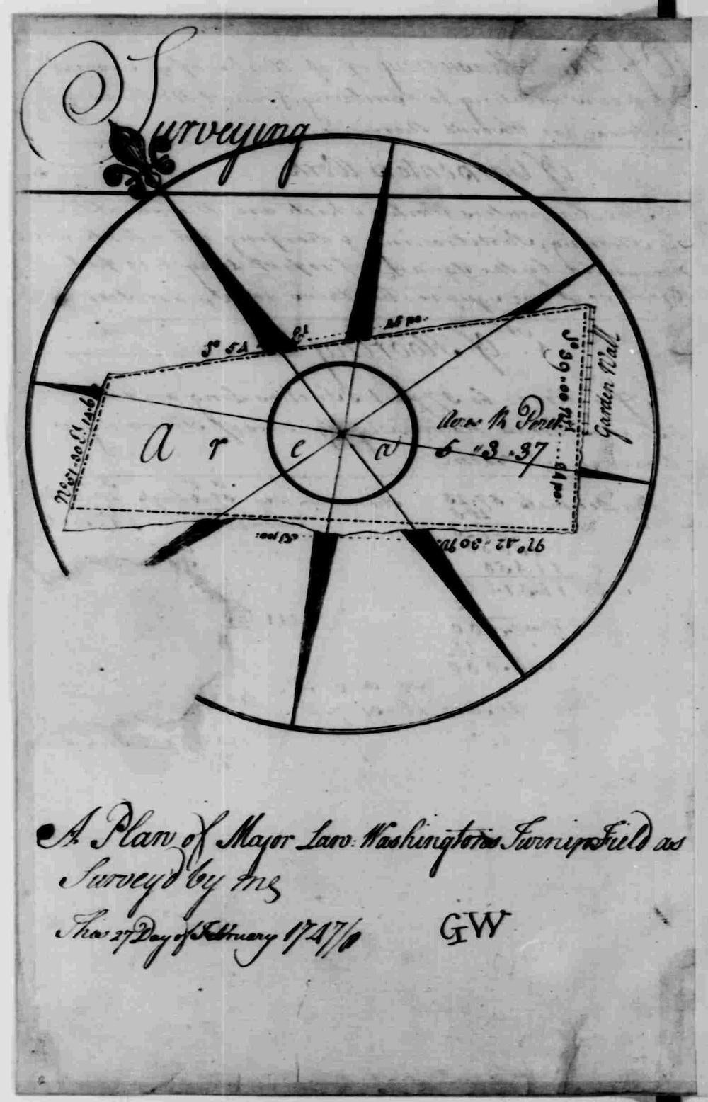
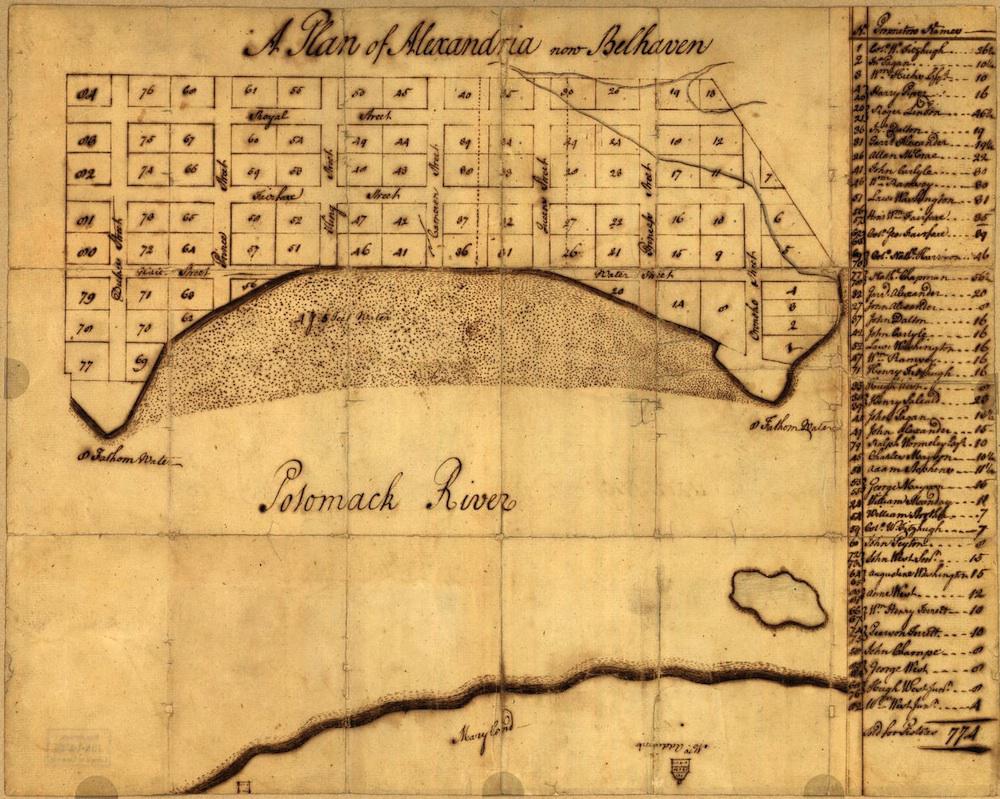
George Washington studied surveying, practiced it on familiar lands owned by his family, and was appointed as official surveyor of Culpeper County, Virginia, by the young age of 17. The maps below, which date from different phases of Washington’s lifelong involvement with surveying and cartography, are from the collection of the Library of Congress. “Throughout his life as a soldier, planter, businessman, land speculator, farmer, military officer, and president,” writes the Library’s Edward Redmond, “Washington relied on and benefitted from his knowledge of maps.”
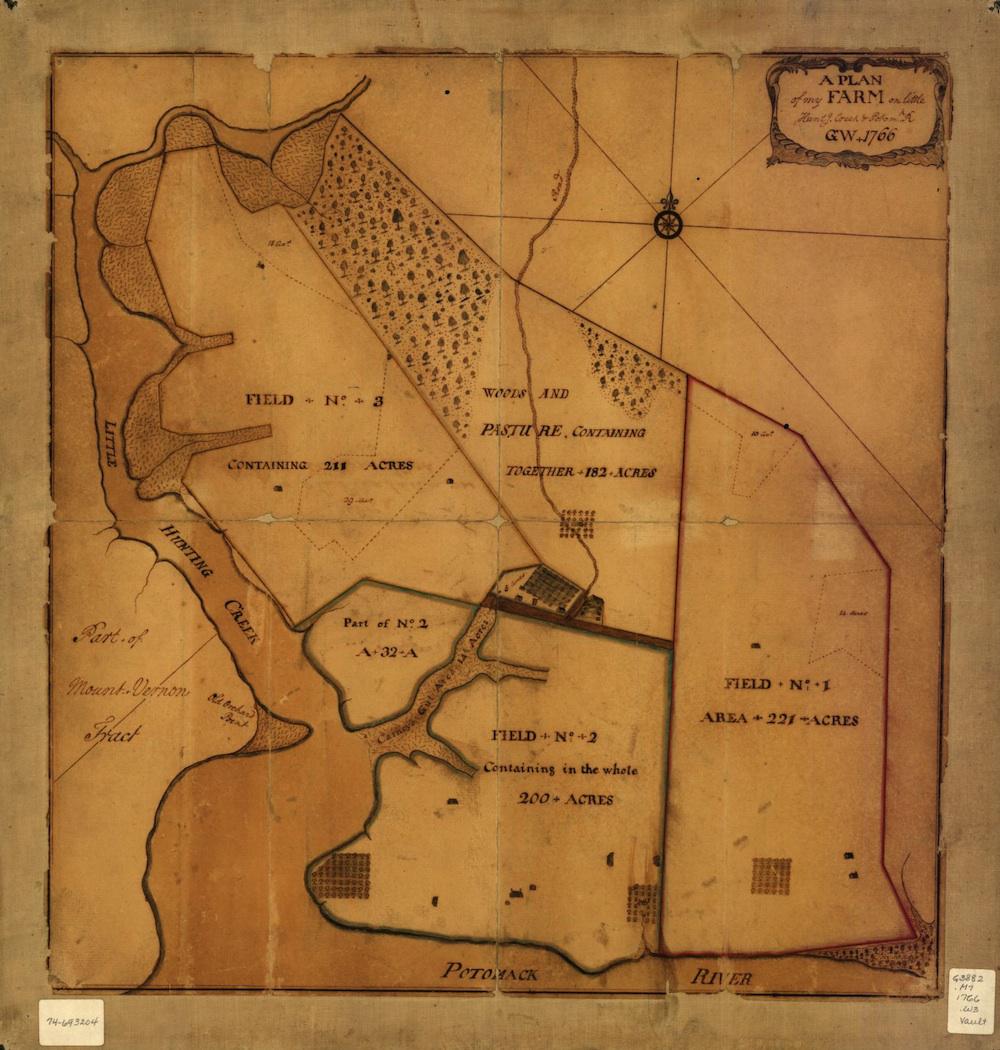
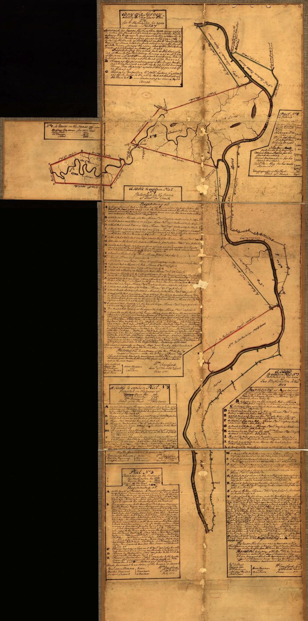
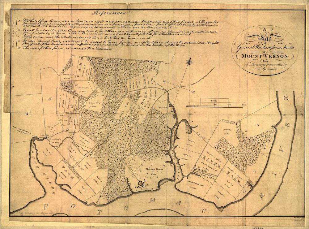
Long after he ceased to work as a professional surveyor, Washington used his understanding of the trade to expand his own land holdings. (Between 1747 and 1799, the first president owned “more than sixty-five thousand acres in thirty-seven different locations,” writes Redmond.) The fourth map below, a composite drawn from surveys carried out by others, represents lands in West Virginia that had been promised to soldiers who fought with the Virginia Regiment during the French and Indian War. Washington claimed almost a third of the bounty lands surveyed on the map and spent decades lobbying for them to be awarded; in this instance, he used his cartographic skills to make this argument.
Washington wasn’t the only American president to spent some time in this trade. Thomas Jefferson’s father was a surveyor and cartographer, and the younger Jefferson worked in Virginia as Albemarle County surveyor for a year before moving on to other occupations. And starting in 1833, Abraham Lincoln spent a short time working as a surveyor, before financial difficulties brought that phase of his career to an end.
Click on the images below to reach the maps’ pages on the Library of Congress website, where you can zoom in.
Library of Congress
Library of Congress
Library of Congress
Library of Congress
Library of Congress