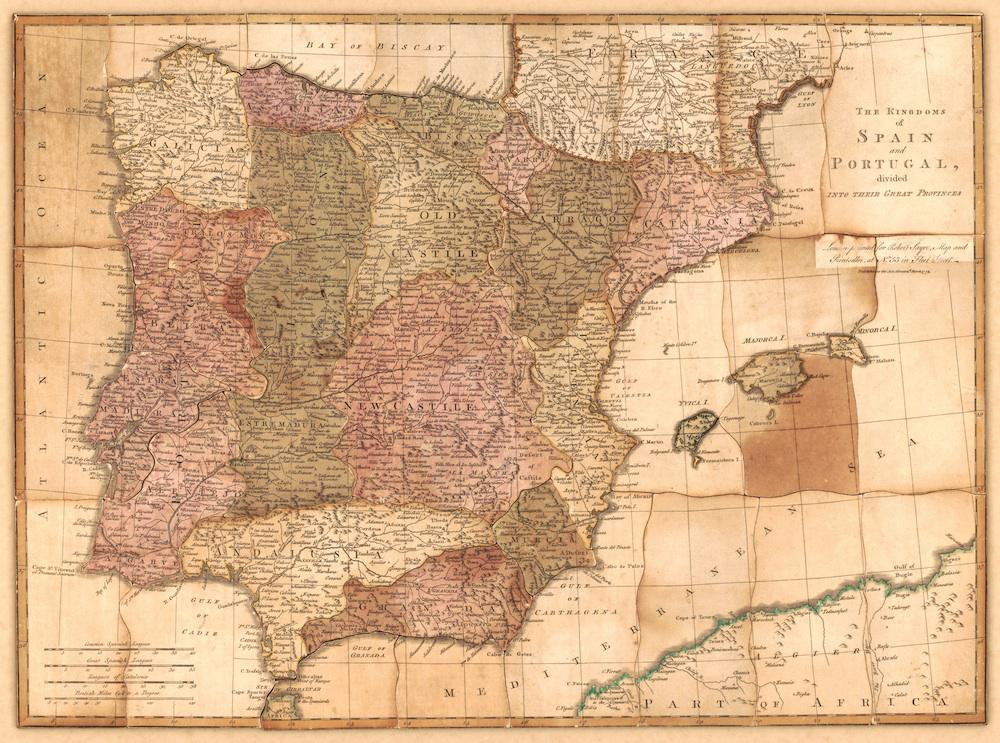
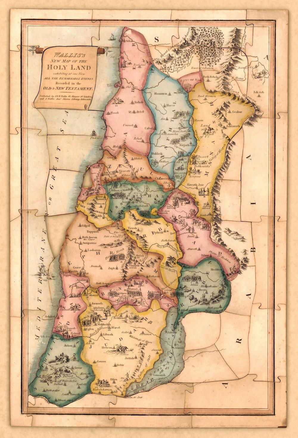
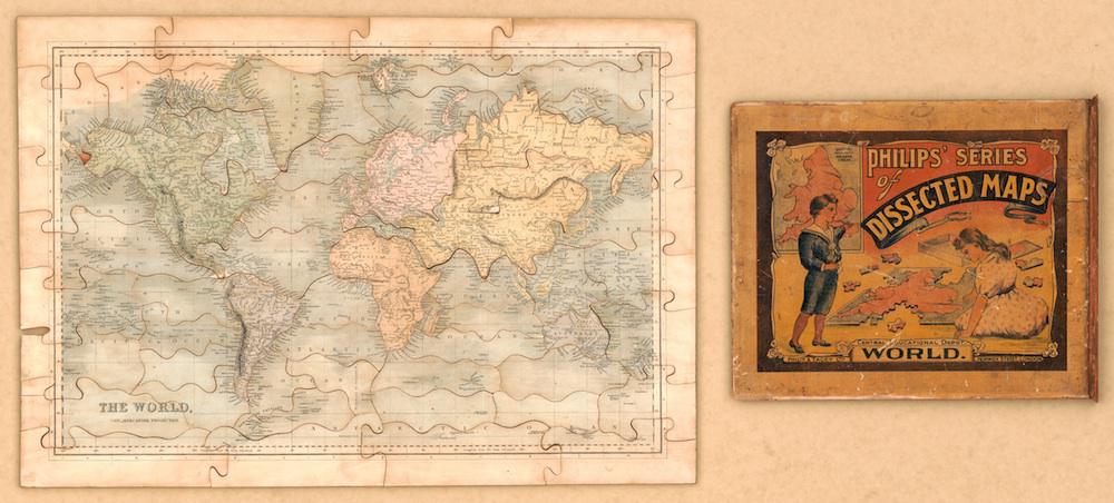
The Library of Congress has recently digitized a group of puzzle maps dating from the late 18th to the early 20th century. These “dissected maps” were the first generation of jigsaw puzzles; following the latest educational theories of the time, they were sold as tools to make learning fun.
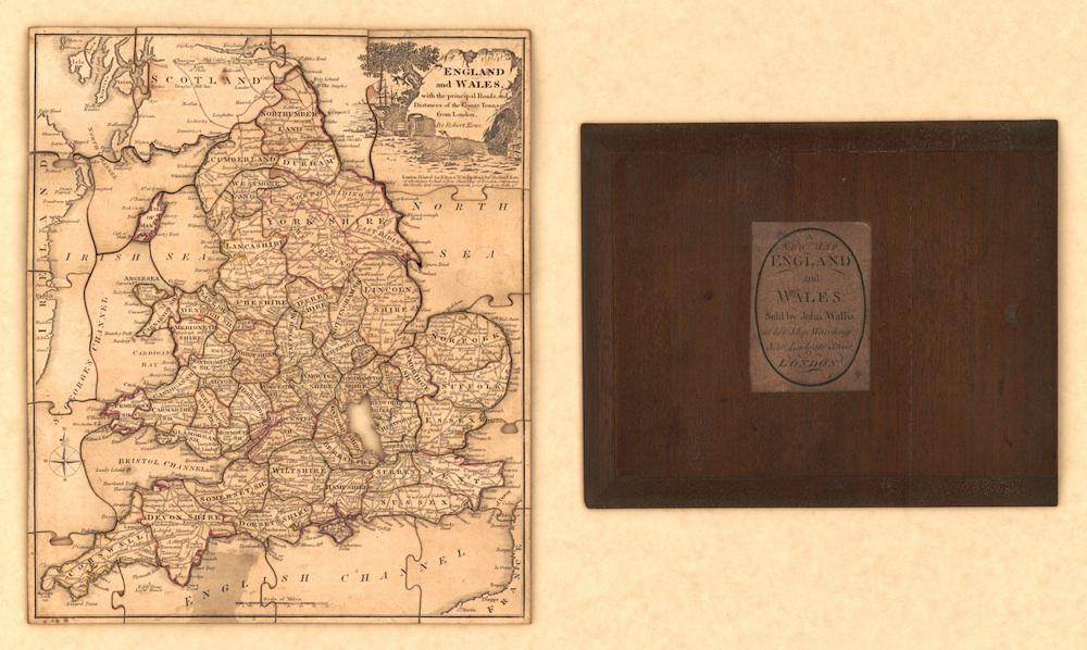
Some of the earliest surviving dissected maps, made in London in the 1760s, were sold by London mapmaker John Spilsbury. Spilsbury affixed paper to wooden boards and cut his puzzles into pieces with a handheld saw. The product was expensive, and Spilsbury’s clientele included the children of King George III. (Cartographer Alan G. Hodgkiss writes that Spilsbury sold dissected maps “without the sea” at a fairly significant discount, “the sea being regarded as of only minor importance.”)
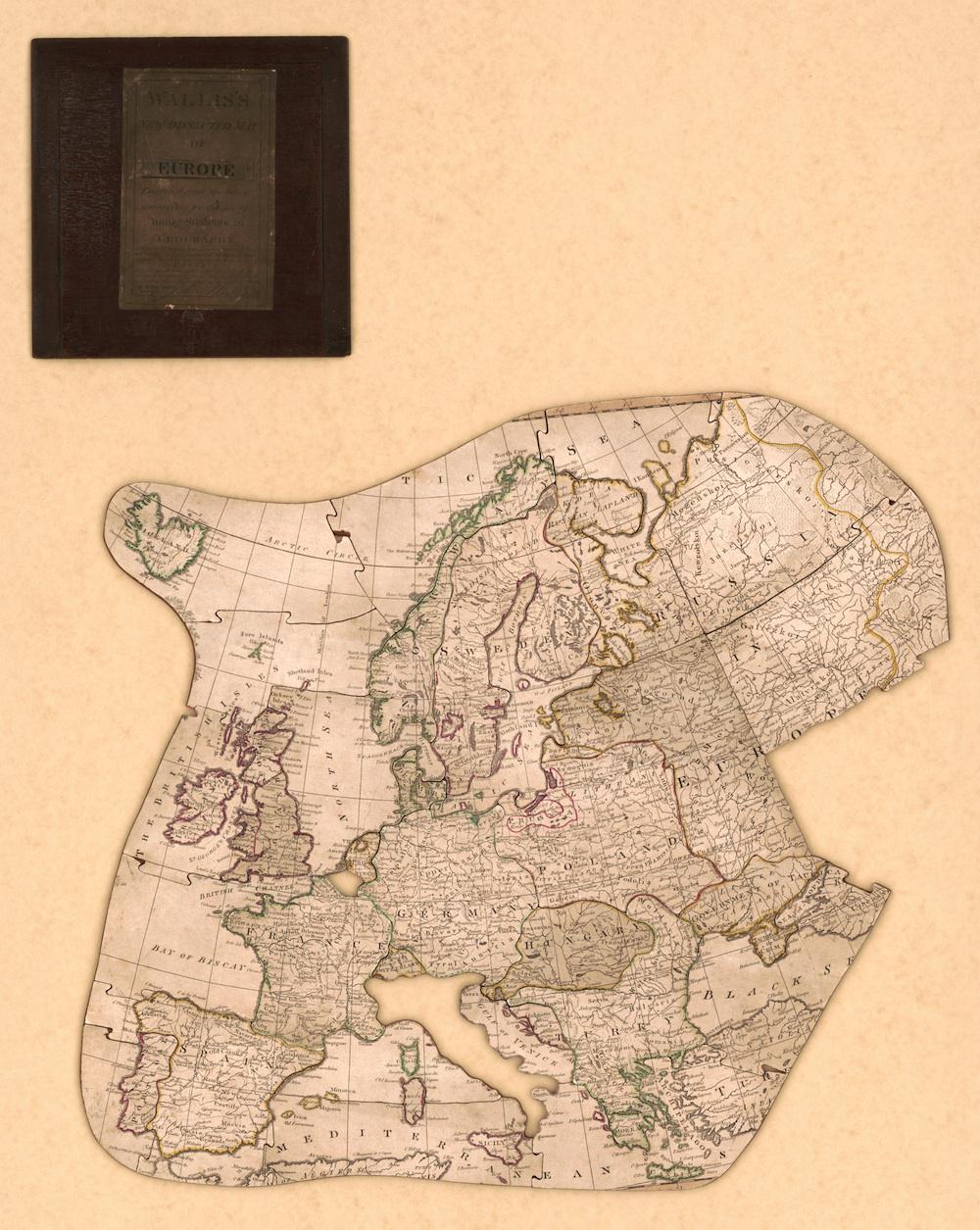
After Spilsbury’s death in 1769, as many as 20 mapmakers in London began selling dissected maps for educational purposes. Cartographers and game manufacturers in France, Germany, the Netherlands, and the United States all contributed their own offerings. As the 19th century progressed and new coloring and cutting methods streamlined the manufacturing process, puzzle maps declined in cost and became more accessible to the general public.
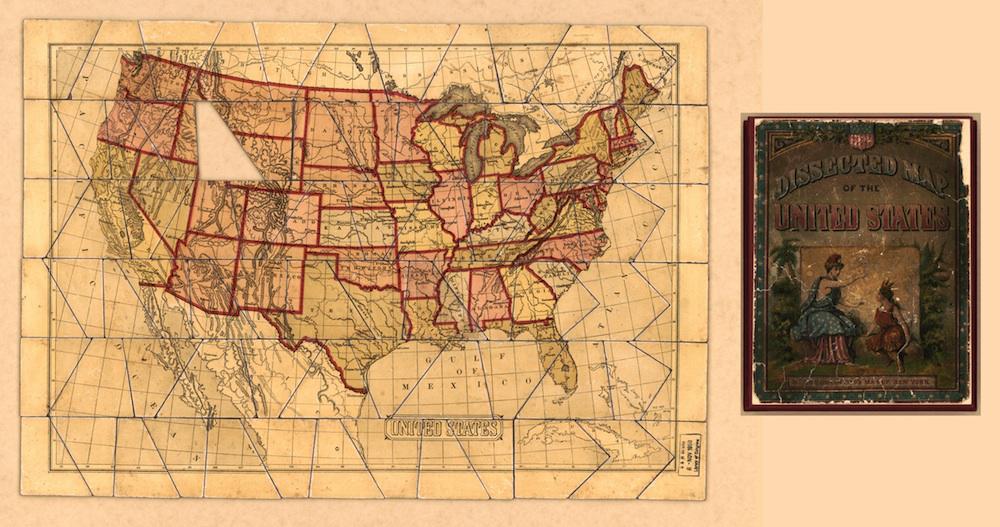
The Library of Congress puzzle maps were scanned as assembled wholes, sometimes with their box covers alongside. As might be expected, some are missing pieces. The 1900 map of the United States lacks a triangular bit of its Montana, Wyoming, and Idaho; the 1812 map of Europe lost its Italy somewhere along the way.
Click on the images below to reach zoomable versions, or visit the maps’ page on the Library of Congress website.
Library of Congress
Library of Congress
Library of Congress
Library of Congress
Library of Congress
Library of Congress