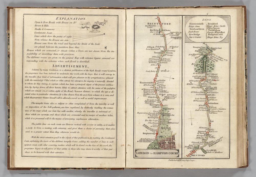
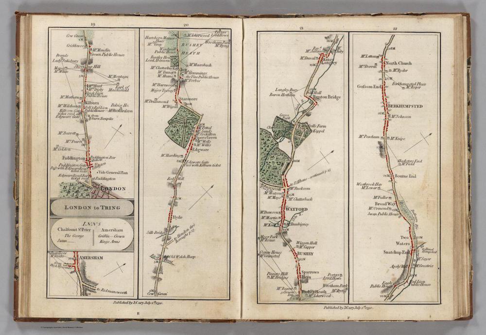
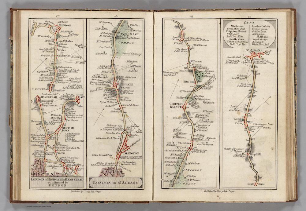
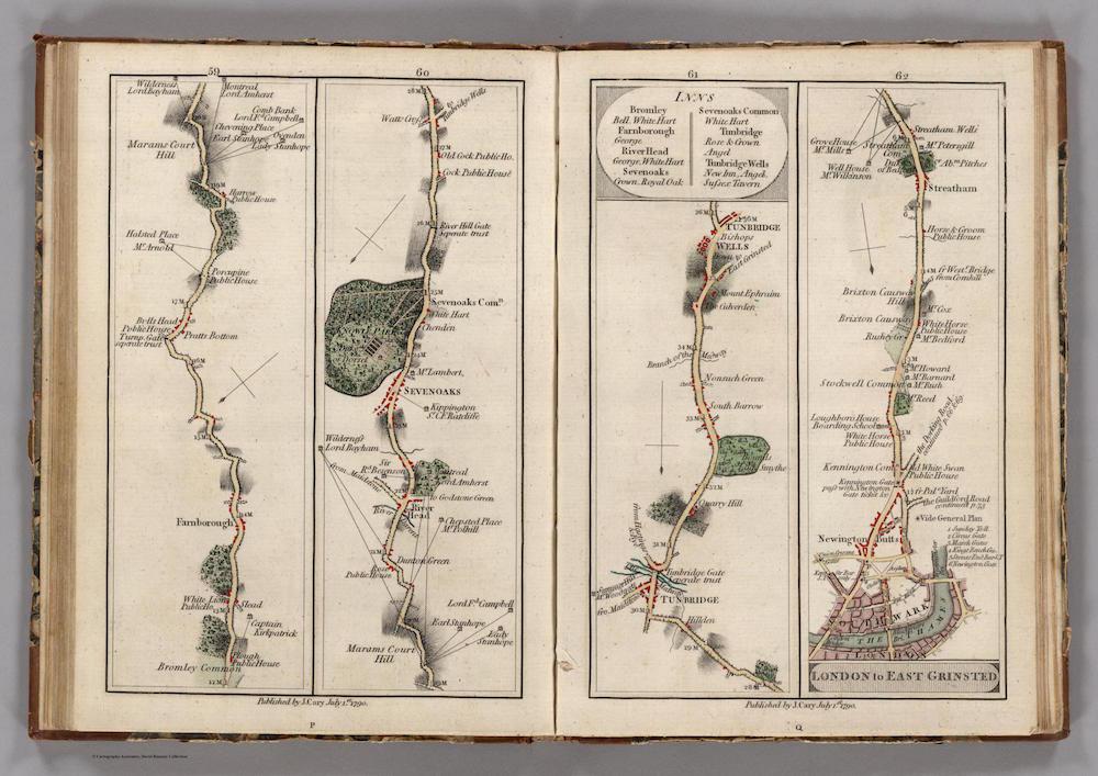
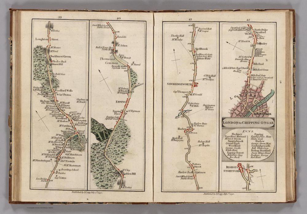
These strip maps of roads around London come from an atlas printed in 1790 by mapmaker John Cary. For travelers moving on foot or on horseback, the level of local information in Cary’s maps allowed for better planning of stops and provisioning. Each map named the owners of the houses to be found along the way and designated sites of public houses, inns, and bridges.
In the late 18th century, Cary received official commissions from the General Post Office and the Ordnance Survey (the government’s mapping agency, established around that time) to map out roads around the city. Cary built upon the work he did for the government to publish maps for public consumption.
Geographer Alan M. MacEachren writes that “maps that could be considered in strip format … existed as early as 2000 B.C., in the form of Egyptian ‘guides to the beyond’ drawn on coffin bottoms.” Strip maps, MacEachren continues, have often been used to outline travel routes; the linear format of a strip map abstracts a route from its surrounding geography, allowing the cartographer to focus on the aspects of the route that the traveler might find helpful.
Cary’s atlas included an overview map with numbered routes that corresponded to the atlas pages where more information could be found.
Click on the images below to reach zoomable versions, or visit the atlas’ page on the David Rumsey Map Collection site.
David Rumsey Map Collection.
David Rumsey Map Collection.
David Rumsey Map Collection.
David Rumsey Map Collection.
David Rumsey Map Collection.