The Vault is Slate’s history blog. Like us on Facebook, follow us on Twitter @slatevault, and find us on Tumblr. Find out more about what this space is all about here.
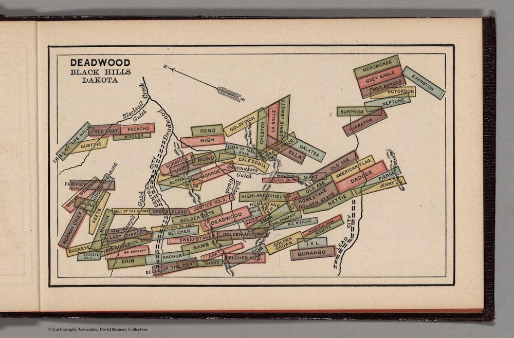
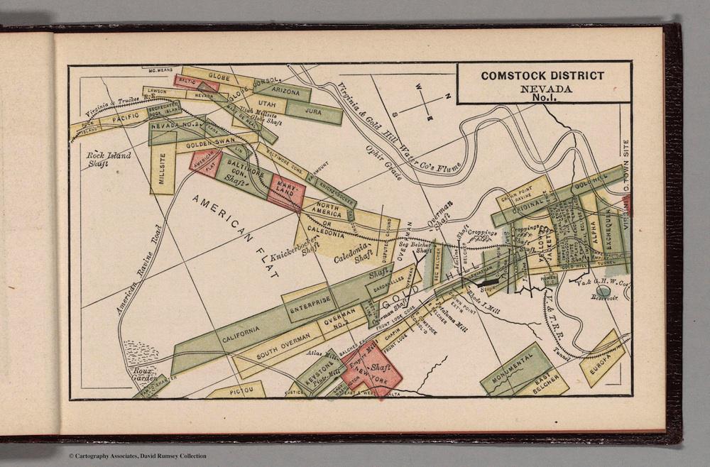
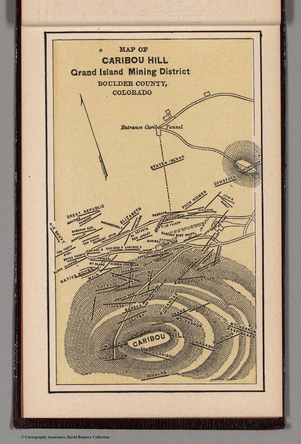
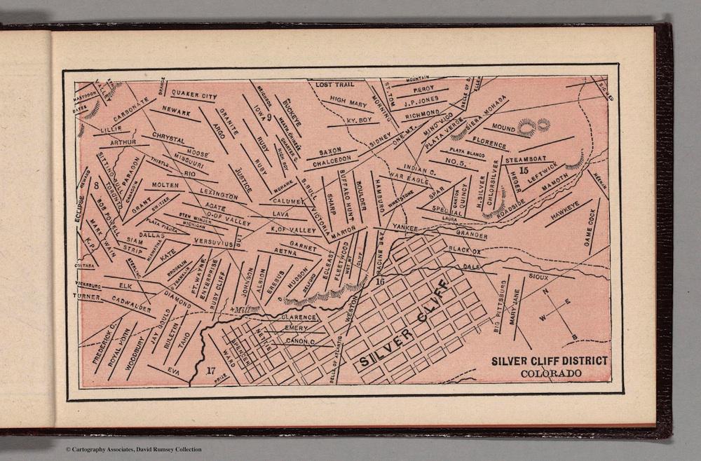
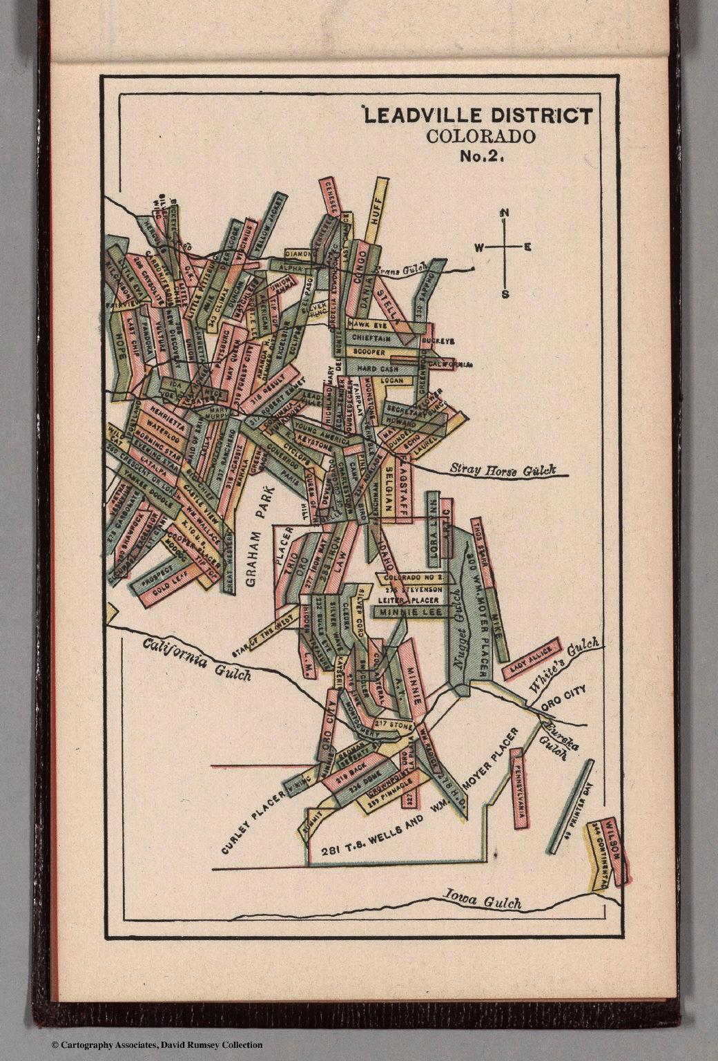
These maps were part of a Pocket Mining Atlas, compiled by Edwin Bolitho for the Engineering and Mining Journal and printed in 1880 in New York. The atlas was available to prospectors (or any other interested parties) for the price of a dollar. (The remaining maps from Bolitho’s atlas can be seen on the David Rumsey Map Collection website.)
In 1872, a new Mining Act straightened out the complicated mess of property rights that had developed in the American West, where prospectors had been pulling minerals out of federal land for decades. As part of the new statute, miners who had staked previous claims could be grandfathered in (depending on their particular circumstances). Miners staking new claims would have to adhere to the government’s guidelines regarding size of claim.
This circumstance would seem to explain why the maps of Colorado’s Leadville District (whose silver rush began in 1878) and South Dakota’s Deadwood (which was established in 1876, after gold was found in the area in 1875) feature a regular pattern of similarly-sized claims. The Comstock District, in Nevada, where gold was mined beginning in 1850, has a wider variation in claim size.
The maps also show how miners tended to name their claims: after home (“Pennsylvania,” “Staten Island”); women (“Jenny,” “Ana”); or the ups and downs of Lady Luck (“Last Chip”; “Hope”).
David Rumsey Map Collection.
David Rumsey Map Collection.
David Rumsey Map Collection.
David Rumsey Map Collection.
David Rumsey Map Collection.