The Vault

The Ethereal Embossed Pages of a 19th-Century Atlas for the Blind

The Vault is Slate’s history blog. Like us on Facebook, follow us on Twitter @slatevault, and find us on Tumblr. Find out more about what this space is all about here.

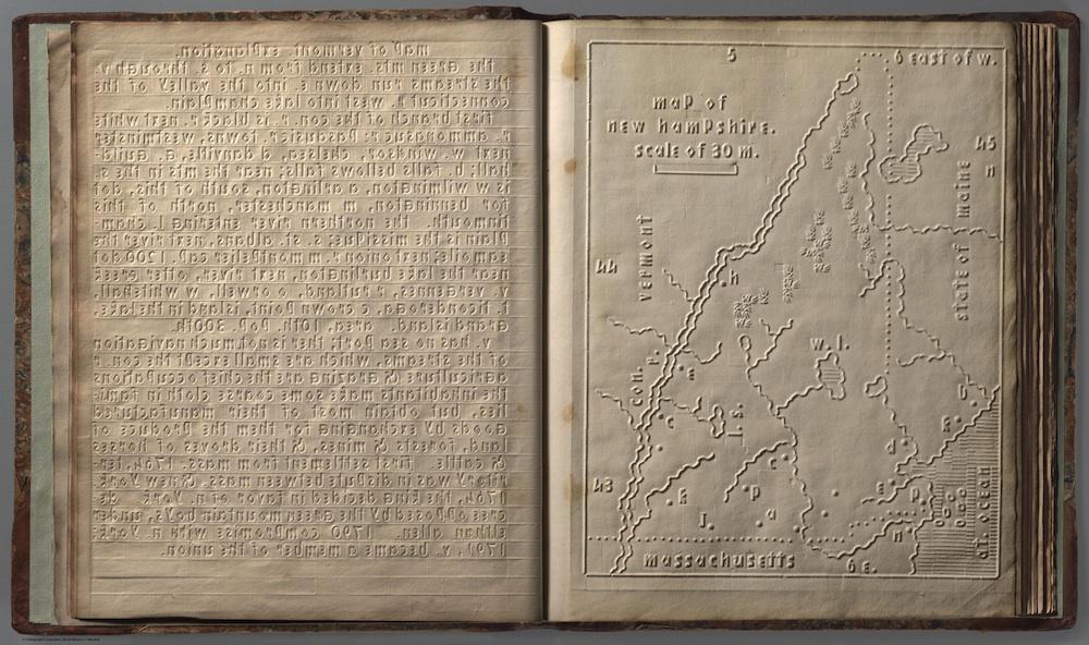
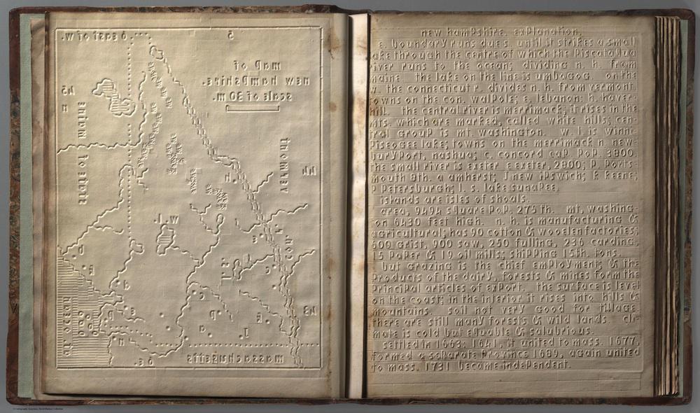
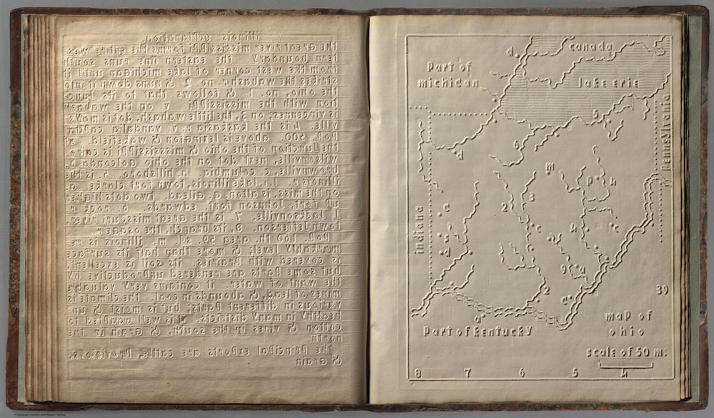
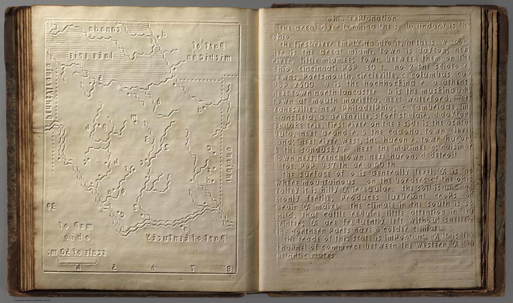
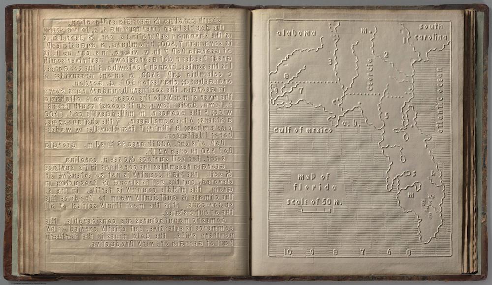
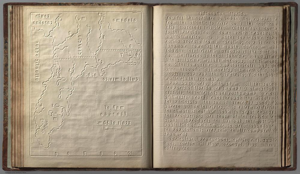
In the 1830s, Samuel Gridley Howe, an educator of the blind and visually impaired, developed an embossed alphabet known as Boston Line Type. This atlas, printed in 1837, made use of this type to present geographical information for students at the New England Institution for Education of the Blind (later known as the Perkins School for the Blind).

Howe invented Boston Line Type at around the same time that Louis Braille, a blind student in Paris, created the more well-known system of raised dots that bears his name. Boston Line is a Roman alphabet, with simplified angles and without capital letters.

Students at the Perkins School for the Blind used Boston Line until the turn of the 20th century. Boston Line had some drawbacks: the Perkins School’s museum notes that “many of the school’s students found it difficult to read.”

Technological limitations also made the Boston Line alphabet an unsatisfactory tool for writing. Even before the development of Braille writing machines in the late 19th century, students could write in Braille using just a stylus and a slate; the Boston Line required a customized printing press.

Scans of the rest of Howe’s atlas can be seen on the David Rumsey Map Collection website.

L: Back of page holding explanation of Vermont map. R: New Hampshire map. From atlas of the united states, Printed for the use of the blind, at the expense of John C. Cray; under the direction of s.g. howe. at the n.e. institution for the education of the blind. boston 1837. 

David Rumsey Map Collection. 

L: Back of embossed New Hampshire map page. R: Explanation of New Hampshire map. From atlas of the united states, Printed for the use of the blind, at the expense of John C. Cray; under the direction of s.g. howe. at the n.e. institution for the education of the blind. boston 1837. 

David Rumsey Map Collection.

L: Back of page holding explanation of Illinois map. R: Ohio map. From atlas of the united states, Printed for the use of the blind, at the expense of John C. Cray; under the direction of s.g. howe. at the n.e. institution for the education of the blind. boston 1837. 

David Rumsey Map Collection. 

L: Back of page holding embossed Ohio map. R: Explanation of Ohio map. From atlas of the united states, Printed for the use of the blind, at the expense of John C. Cray; under the direction of s.g. howe. at the n.e. institution for the education of the blind. boston 1837. 

David Rumsey Map Collection. 

L: Back of page holding explanation of Georgia map. R: Florida map. From atlas of the united states, Printed for the use of the blind, at the expense of John C. Cray; under the direction of s.g. howe. at the n.e. institution for the education of the blind. boston 1837. 

David Rumsey Map Collection. 

L: Back of page holding Florida map. R: Explanation of Florida map. From atlas of the united states, Printed for the use of the blind, at the expense of John C. Cray; under the direction of s.g. howe. at the n.e. institution for the education of the blind. boston 1837. 

David Rumsey Map Collection.