
Update, 2:40 p.m.: Thursday’s midday models show little change to Erika’s expected close approach to South Florida by Monday. Most notably, the GFS and European models—historically the most accurate—both still show a landfall at roughly tropical storm strength near Miami. The second-tier models, however, continue to produce truly amazing possibilities for later next week. The Canadian model, for one, takes Erika all the way up the East Coast for an eventual Sandy-like left-hook landfall in New Jersey (animation) next Friday. That possibility is in the realm of science fiction for now, but illustrates the point that Erika increasingly poses a real—though at the moment, slight—risk to virtually the entire East Coast next week.
Original post:
Uncertainty about the fate of Tropical Storm Erika has increased over the last 24 hours. As of yesterday morning, Erika seemed intent to move in on South Florida by Monday. That’s still the case, but for Tuesday and beyond, that threat has now broadened to include the Carolinas. The latest official National Hurricane Center forecast still shows an intensifying hurricane dangerously close to the Miami area, one of the most vulnerable places on the planet when it comes to tropical weather.
On Wednesday, Miami-Dade County officials said they’re closely following Erika, and are prepared to order emergency public safety measures, such as opening shelters, as early as Friday or Saturday. But before it threatens the U.S. mainland, Erika, which is now bounding through the Caribbean, will be welcomed as further salve to the extreme drought plaguing islands like Puerto Rico. The NHC expects three to eight inches of rain over Puerto Rico by Saturday, helping San Juan add to what is already its rainiest month of the year so far. Erika’s center will pass near or over Puerto Rico overnight on Thursday, but winds are expected to remain relatively light. During an overnight flight, Hurricane Hunters, a group of brave meteorologists that fly through storms to collect weather data, found Erika slightly stronger than it was for most of Wednesday. Still, it will probably still be a day or two before the storm really finds its groove.
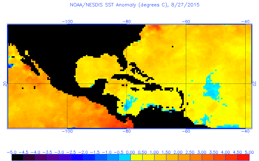
By Friday, once the storm passes Puerto Rico, all eyes will shift to Erika’s likely path toward the mainland United States. The latest NHC forecast brings Erika’s center within 35 miles of West Palm Beach, but keep in mind the average track error for a four-day NHC forecast is 195 miles. That means the latest forecast is statistically indistinguishable from a landfall in South Florida. Erika will also probably spend a worryingly large amount of time just offshore prior to its closest Florida approach, gaining energy from the warmer-than-normal Gulf Stream.
So where does that leave us? Erika’s atmospheric steering current, which is pushing it through the Caribbean, collapses around Saturday, and current weather models are unable to resolve with much confidence exactly what will happen after that. Erika could hit anywhere from South Florida to the Carolinas at anything from tropical storm to monstrous Category 4 strength. Here’s how I’d break down Erika’s odds and scenarios at the moment (see yesterday’s odds here):
- Death in the Caribbean (10 percent chance)
There’s still a chance Erika may not make it out of the Caribbean. The storm is still fairly unorganized, meteorologically-speaking, and will contend with adverse upper-level winds over the next 48 hours that could rip it apart. Over the last several hours, Erika’s center has reformed further west than expected, which means the storm’s circulation has a greater chance of being disrupted by the mountains in Puerto Rico and the Dominican Republic over the next day or two. The NHC emphasizes these significant challenges, even though virtually all forecast models show eventual strengthening.
- Hurricane landfall in South Florida (60 percent)
This remains the most likely scenario. Wednesday night’s version of the European model—statistically the world’s best weather model— brings Erika ashore near Miami on Sunday evening, and then sends the intensifying hurricane into a broad week-long loop off Florida’s east coast. This morning’s Hurricane Weather Research and Forecasting model, the U.S. government’s flagship high-resolution hurricane model, showed a very similar outcome, though with an initial landfall further up the coast. It’s hard to argue with that scenario right now.
- A second, stronger landfall in the Carolinas (20 percent)
Here’s where the forecast gets tricky. After Monday, models significantly diverge on Erika’s path and strength. Thursday night’s run of the Global Forecast System model, with average accuracy comparable to the European model, brings an intensifying Erika slowly northward just offshore the Florida east coast toward a strong landfall near Charleston, South Carolina, possibly as a major hurricane. The Canadian model was similar: A very close pass off South Florida and an eventual strong landfall near Wilmington, North Carolina. Basically, if you live anywhere between Miami and Washington, D.C., you should probably be tracking this storm.
- Worst case (10 percent)
No model explicitly shows this outcome, but should Erika hold together a bit better than expected in the Bahamas, it has the potential to rapidly strengthen on approach to South Florida as a major hurricane, and then make a slow journey northward toward a second landfall as a major hurricane in the Carolinas about five days later. Such an outcome would mean extremely heavy rainfall and intense beach erosion for virtually the entire southeast U.S. coastline as massive waves enhance the impact of a decade-and-a-half of sea level rise since the last strong storm passed by this part of the country. (That was Hurricane Floyd, in 1999.) It would be truly devastating—but, again, the likelihood seems relatively remote at the moment.
Given Erika’s flip-flopping forecasts, I’d expect the National Weather Service to soon announce a temporary nationwide doubling of weather balloon launches to provide additional data to the weather models in hopes of nailing down Erika’s precise landfall location sooner rather than later.