A Siberian blast—seriously, this air is from Siberia—has turned the eastern U.S. into an icebox featuring the most extreme cold of anywhere on Earth right now. Looking ahead, there’s plenty more where that came from.
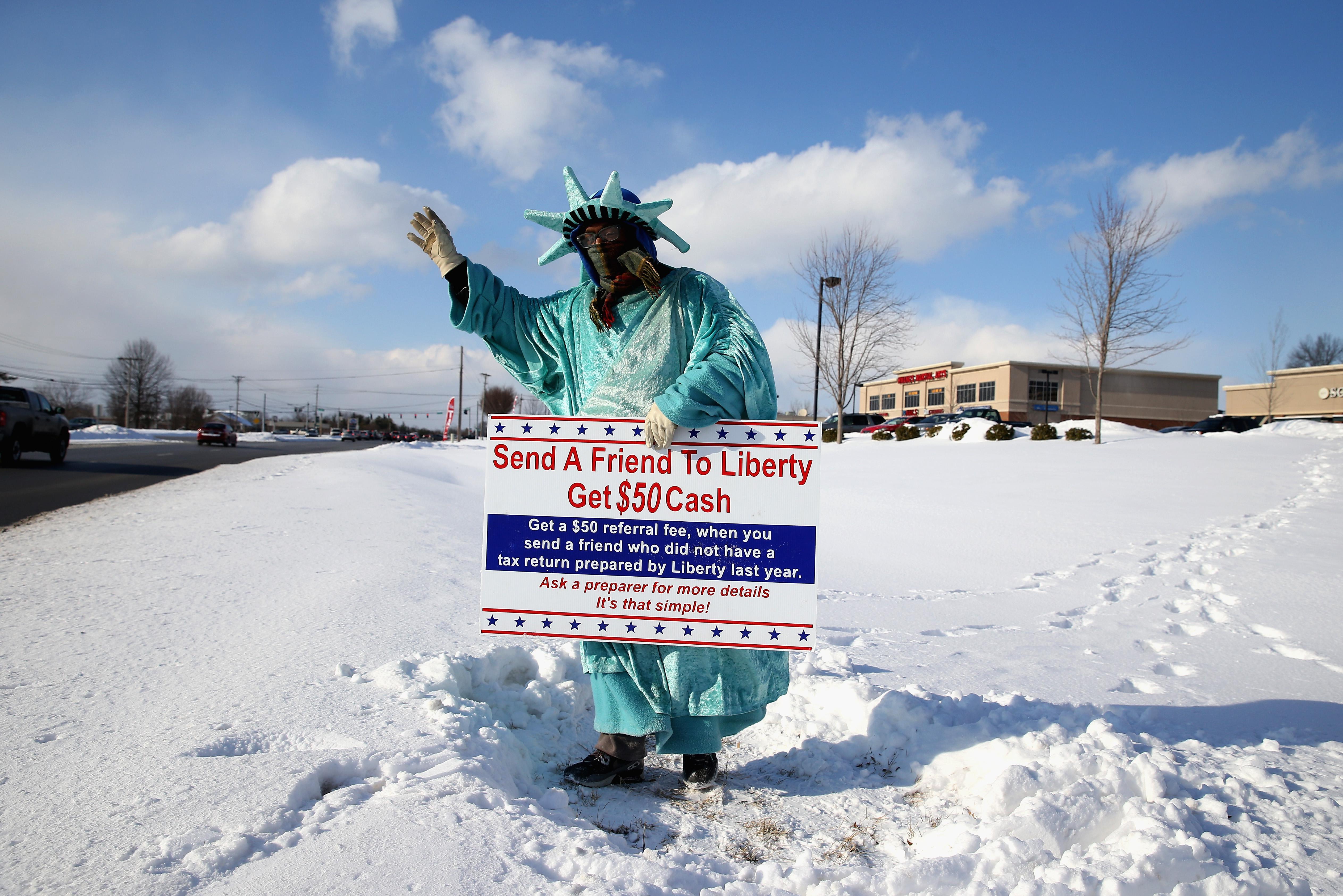
On Thursday morning, Cape Girardeau, Missouri set a new all-time record low—for any date, ever—of 19 degrees below zero. Nearby Paducah, Kentucky, which hit 10 below, broke its daily record low by 11 degrees—its third record low in as many days. With Thursday’s high temperature not even expected to reach double digits, it hasn’t been this cold in Chicago this late in winter since 1963.
All this cold has led to a rapid freeze-up of the Great Lakes—quickly exceeding the pace even of last year’s prolonged Arctic blasts. With barely any break in between massive snowstorms for nearly a month now, the snow pile that’s accumulating next to the airport in Portland, Maine has grown so high it’s starting to interfere with landing aircraft.
Friday will be even colder than Thursday for most of the East. The Washington Post’s Capital Weather Gang blog is forecasting a daily record low on Friday morning near zero—which would break the current record of 8 degrees set in 1896. What’s more, should the temperature fall below zero degrees, it would be the coldest day in the nation’s capital since the mid-1990s.
The East Coast freeze isn’t just in the north. Weather this cold is exceedingly rare in South Florida, but Miami will only be a few degrees above freezing on Friday morning. Large sections of the Everglades—all the way down to the southern tip of the state—are predicted to briefly freeze.
Meanwhile, continued warmth in the West has been at least as extreme as the spine-tingling cold in the East. It’s been nearly two months since some parts of the West last saw a colder-than-average day. The lack of snowpack at even the highest elevations is making California’s mountains look more like August than February. The warmth in the West has caused a serious case of snow envy, with would-be entrepreneurs hatching plans for a Boston-to-California snow-delivery service. Through mid-February, San Francisco is on pace for the city’s warmest winter in history; in Boston, 2015 is off to a record cold pace.
In my search for the state with the coldest current weather, Alaska barely cracked the top 10 on Thursday morning. It’s colder in North Carolina than in northern Alaska.
With essentially the same continental-scale weather pattern locked in place for most of the last two years, winter weather maps don’t have much variation: It’s red in the West, blue in the East. That pattern can be blamed on a variety of physical causes: a wavier-than-normal jet stream, hotter-than-average ocean temperatures off the Pacific Coast, melting Arctic sea ice linked to human-induced climate change, and more. Despite the persistent extreme cold in the East, North America’s still running a fever at the same rate as the rest of the globe.
Two more chances for additional snowfall are coming up in the next few days for hard-hit New England, with two to four inches of snow and ice this weekend in Boston followed by a more substantial threat next Wednesday. In between (and, until at least early March), there’ll be more major Arctic blasts of cold air. But at this point, you could have predicted that.