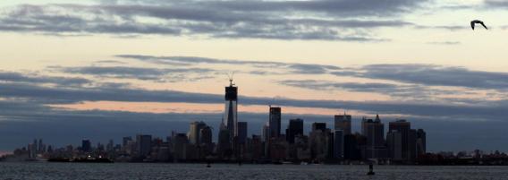
It’s cold right now in the Northeastern and Mid-Atlantic states still digging out from Sandy’s aftermath. But things might get a lot worse, weather-wise, toward the middle of this week thanks to a developing nor’easter currently on track for the very same areas that were hit hard by the superstorm.
Here’s what Chris Dolce at the Weather Channel has to say about the developing storm:
As energy dives southward into the Midwest late Sunday, it will pivot eastward across the South and spawn a surface low off the Southeast coast. This low will then make the turn northward up the Mid-Atlantic and Northeast coast while intensifying. If the low tracks close to the coast as our current forecast maps show, we will be dealing with a very windy, rainy and cold Wednesday into Thursday along the Northeast I-95 corridor…Though this storm will not have near the magnitude of the impact Sandy had, the combination of rain, wind and snow will add insult to injury for the recovery process along the East Coast.
New Jersey Gov. Chris Christie says that his state was doing the best they could to prepare for another (albeit much less severe) storm, which isn’t much: “I could do lots of things, I can’t change the weather. … We’re preparing for it. We’re hoping that it goes someplace else.”
According to Reuters, almost 2 million people are still without power on the East Coast a week after Sandy. In New York City alone, 40,000 to 50,000 people are in need of housing, and the still-rising death toll for the United States currently stands at 113.
