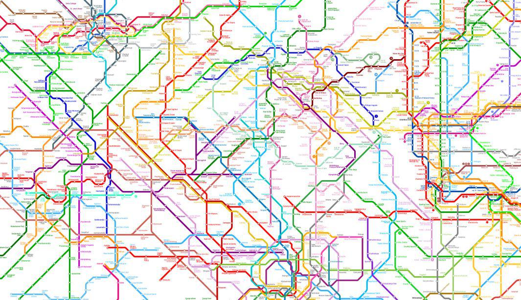
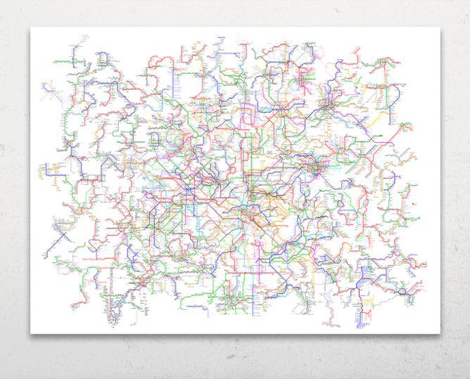
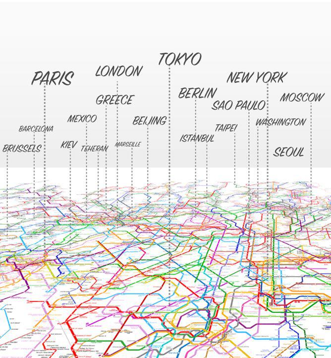
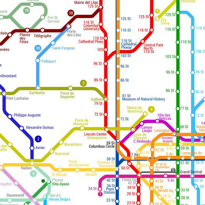
Geraldo Cid of the New York City–based collective Art Code Data has designed a mind-boggling mashup of interconnected transit lines from 214 cities on five continents—a tangle of 791 metro lines and 11,924 stations displayed on a single page.
Courtesy of Gerardo Cid/ArtCodeData/Open Accessibility Initiative
The World Metro Map is inspired by the work of Dutch designer and artist Constant Nieuwenhuys, whose “New Babylon” series from 1956–74 envisioned a future of global nomadism where, freed by the automation of work, people roam the borderless Earth to create and play. Nieuwenhuys’ work included a series of “urban collages” in which he imposed a new psychogeographical order on maps of the world’s cities using ink and scissors.
Courtesy of Gerardo Cid/ArtCodeData/Open Accessibility Initiative
Cid’s digital answer to Nieuwenhuys’ idea is a collage map “that represents human mobility,” according to a description on Kickstarter, where the project has already received more than six times its crowdfunding goal. “Every line in this map represents lines and stations in the real world, however all the lines are interconnected in a way that they all form a mega subway system.”
If you’ve traveled on the Eurostar, you’ve already experienced the exhilarating sensation that traveling from Paris to London feels as easy as hopping on the subway. The World Metro Map takes that mental leap to its mind-bending conclusion so that you could theoretically get on the NYC subway and get off in Paris.
Courtesy of Gerardo Cid/ArtCodeData/Open Accessibility Initiative 2016
Cid told Fast Company that the design is based on a diagram of the Tokyo Metro System. He and his team have been building out the imaginary cartography of the map by focusing the world’s oldest subway systems at its core, with newer transport networks incorporated around the periphery.
Proceeds from the map’s sales will help to fund the Open Accessibility Initiative, a nonprofit to help facilitate travel experiences for people living with disabilities. To get a better look at the map, check out the Kickstarter project video below.