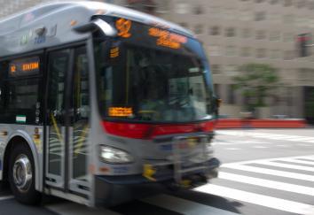
One perk of living in a larger city is the array of options for getting around. Each option, of course, comes with its own app to help navigate its unique network or schedule. This can be tedious when, say, you have to toggle between the bus and subway apps to figure out which offers the quicker way home.
The app RideScout, which expanded its availability from five cities to 69 on Monday, promises to aggregate all available transportation methods into a one-stop-shop for your smartphone. (It’s fully available for the iPhone now; the Android version is in beta.) Enter your location and destination into the app, and RideScout relays real-time options for getting around on foot, bike, car, or public transit, with estimated cost and travel times included.
When RideScout debuted in Washington, D.C., late last year, I was using eight different apps to help me navigate the district via car, taxi, bike-share, and public transit. RideScout promised to be my Holy Grail of transit apps, streamlining my search for the best route home into one quick glance at my smartphone. The iOS version of the app falls short, negating its convenience with clunky design and reliance on the subpar Apple Maps. But on Android, it’s on its way to being a work of art.
On the iPhone, RideScout offers no easy way (at least that I could find) to hide transit options that aren’t relevant. For example, I have my own car in D.C. and don’t belong to any car-sharing services, so when I search RideScout, I’m constantly scrolling through nearby ZipCar and Car2Go results that I’m not interested in. But on Android, the results are displayed in drop-down categories—transit, driving, biking, taxi, parking, walking—so you can ignore the ones you’re not interested in.
I was most excited about RideScout’s inclusion of Capital Bikeshare station locations, how many bikes and docks are available at nearby stations, and a nifty timer to let you know when your 30 free minutes are ending. But Apple Maps, the mapping platform powering the iOS app, doesn’t offer an option to tailor results to streets with bike lanes—an invaluable feature in car-centric Washington. Google Maps, used by the Android version, automatically routes you on bike-friendly streets, but the app kept crashing for me whenever I tried to get more information about the Capital Bikeshare stations.
The problem for RideScout is that an app already on most smartphones is also aiming to blend transportation information into one handy location: Google Maps. With easy-to-filter options for walking, driving, biking, public transit, and now Uber (a notable absence in RideScout), Google Maps essentially offers the same information as RideScout, visualized in a different way. However, it lags behind RideScout in its lack of local and regional transit services, such as car- and bike-sharing, that have become staples in urban areas in recent years, in part thanks to smartphones. “Google could beat us. But we’re just hoping to go faster than they are,” RideScout co-founder Joseph Kopser told PandoDaily last month, adding that he hopes these local and regional transit offerings will help RideScout keep an edge over Google Maps. But I wouldn’t be heartbroken to see Google move RideScout to the top of its wish list, absorbing RideScout’s partnerships into its already streamlined app for both iPhone and Android. That is until we’re all shuttled around in Google’s self-driving cars.