A magnitude 8.2 earthquake struck off the coast of Chile on Tuesday evening, immediately triggering tsunami warnings. Though the quake was deadly, damage reports so far have been less than initially feared, with destruction mostly localized to the immediate zone around the earthquake.
It also created some beautiful images.
Shortly after the quake hit, evacuations ensued up and down the coastline of the elongated South American country, and tsunami alerts were triggered across farther-flung parts of the Pacific basin, like Central America and as far away as Hawaii. The biggest wave was more than six feet high, immediately inland of where the earthquake struck in northern Chile.
NOAA’s Pacific Tsunami Warning Center has released a surreal video showing the results of a wave propagation model that was run immediately after the earthquake was detected and led scientists to ratchet down warnings. It’s a must-see:
The biggest impact on U.S. shores was in Hawaii, where the tsunami came in around two feet high on the Big Island, causing abnormally rough currents.
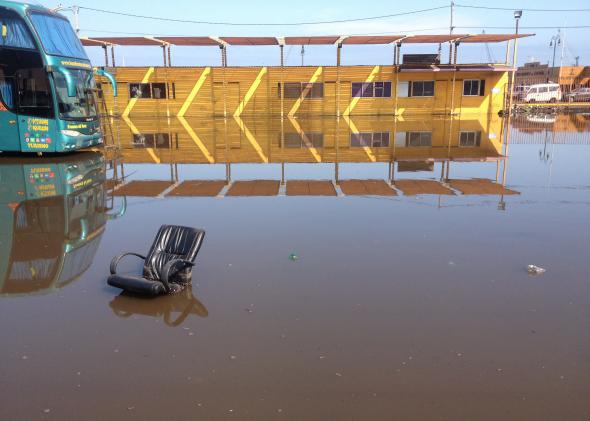
The Santa Monica pier in California recorded wave anomalies, too.
Seven of the 10 most destructive tsunamis of all time have occurred in the Pacific Ocean’s “ring of fire,” a band of fault lines and volcanoes that encircles the massive ocean.