This post originally appeared in Business Insider.
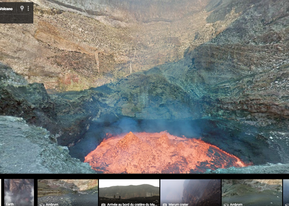
Google Street View has expanded to an extreme new location: the inside of an active volcano.
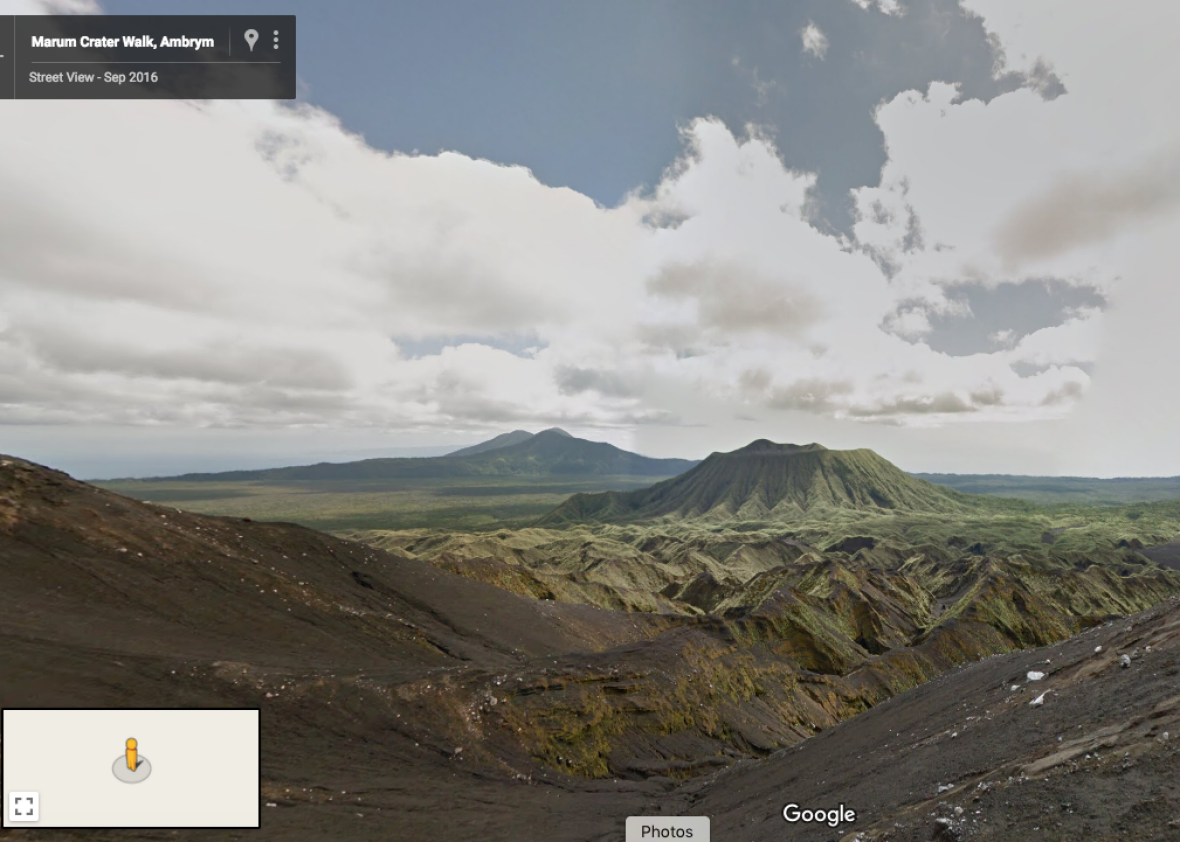
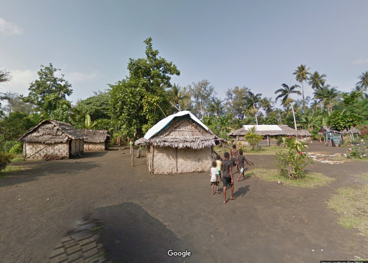
The 360-degree mapping service has launched an update that includes the island of Ambrym, part of a remote archipelago of islands in the South Pacific Ocean, it announced in a blog post published on Wednesday.* Users can explore the island and the village Endu—and climb inside the island’s volcano, “one of the largest boiling lava lakes in the world.”
Google Maps.
The Californian tech company sent two explorers, George Mackley and Chris Horsly, to climb into the crater and capture footage of the bubbling lava. “Standing at the edge and feeling the heat lick your skin is phenomenal,” Horsly said in a statement. “I hope that by putting this place on the map people will realize what a beautiful world we live in.”
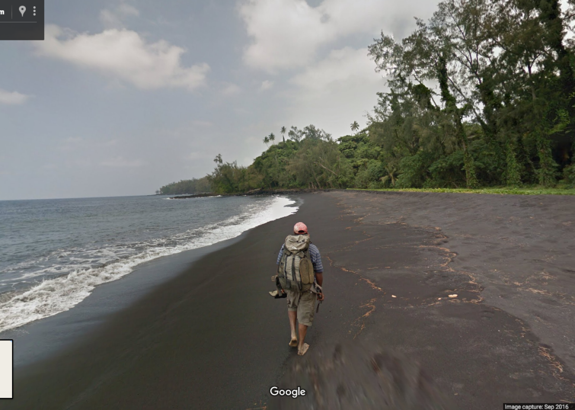
You can move in multiple directions in the caldera, and look in all directions—just like how Google Street View works anywhere else. you can also trek through the jungle on the islands, stroll along the beaches, hike up the side of the mountain, and visit the explorers’ camp.
Google Maps.
“We believe that the volcanoes Marum and Benbow are devils,” Chief Moses, from local visit Endu, said in a statement. “If you go up to a volcano you have to be very careful because the two volcanoes could get angry at any time. We believe that Benbo is the husband and Marum is the wife.”
He added: “Sometimes when they don’t agree there’s an eruption which means the spirit is angry so we sacrifice a pig or [fowl] to the volcano.”
Google Maps.
You can check out the volcano on Google Street View here.
Now Watch: Here’s why Steve Jobs never let his kids use an iPad
*Correction, March 16, 2017: This post originally misspelled the name of the island Ambrym.