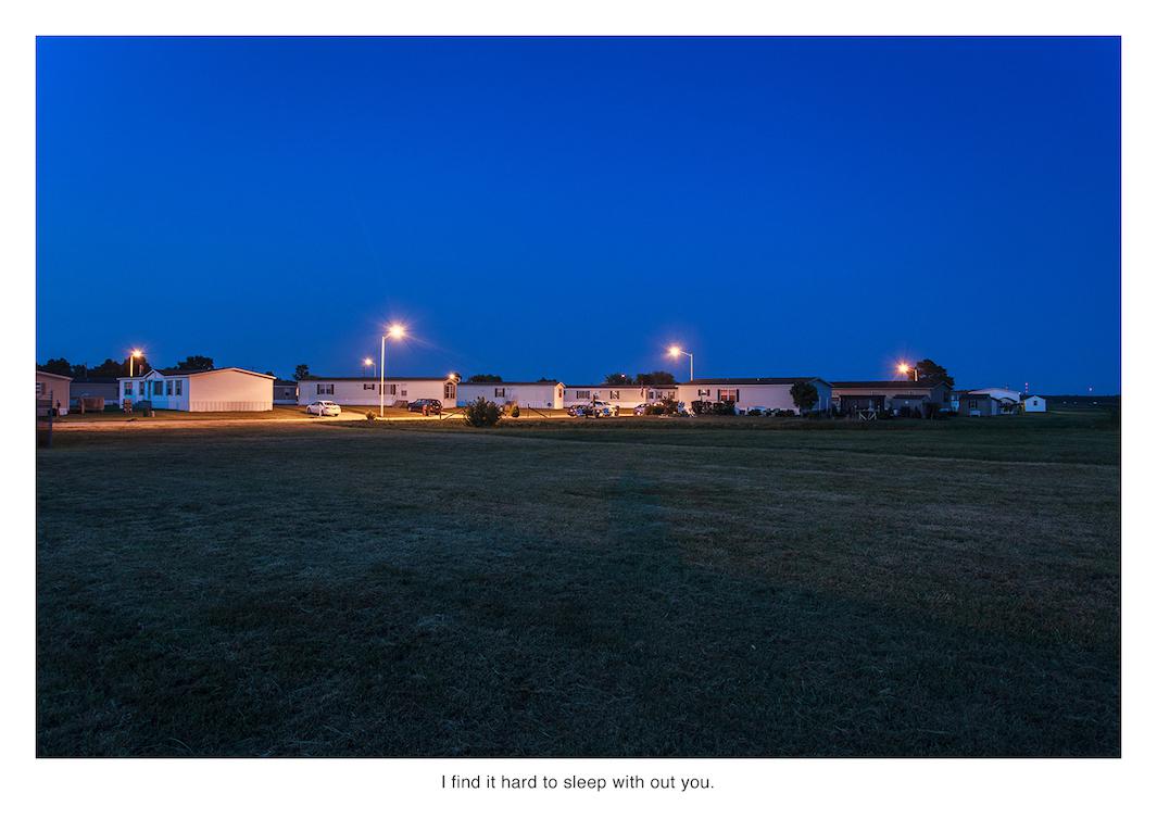
The internet may seem abstract and placeless, but Nate Larson and Marni Shindelman know better than most that every digital communication has an origin in the real world.
In 2009, the photographers came across a post showing the location of a geotagged tweet written by someone who’d just been laid off in downtown Chicago. They decided to go there and make a photo of whatever they found. Seeing the mostly empty street scene paired with the tweet was a revelatory moment.
“We both were kind of dumbfounded and were like, ‘This is really powerful.’ It was kind of an Oprah ‘Aha!’ moment,” Shindelman said.
Ever since, they’ve been making excursions like that one, sometimes separately and sometimes together, for their series “Geolocation.” Using publicly available embedded GPS information, they’ve tracked tweets across the country and beyond, recording the often uncanny ways the virtual realm interacts with the physical one.
“People talk about disconnection in the digital age. This is somehow about re-connection, through that meta layer of information that’s around us all the time. We like to think of it as pulling down bits of the cloud,” Shindelman said.
Nate Larson and Marni Shindelman
Nate Larson and Marni Shindelman
Nate Larson and Marni Shindelman
Nate Larson and Marni Shindelman
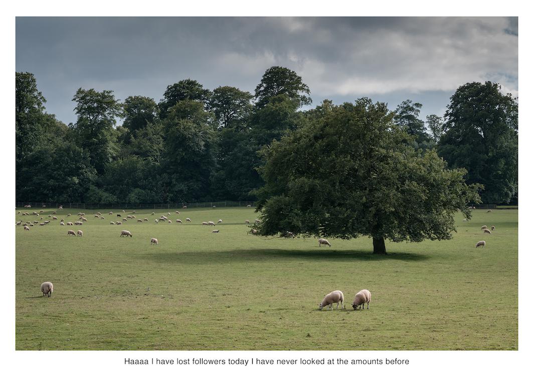
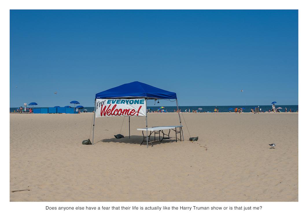
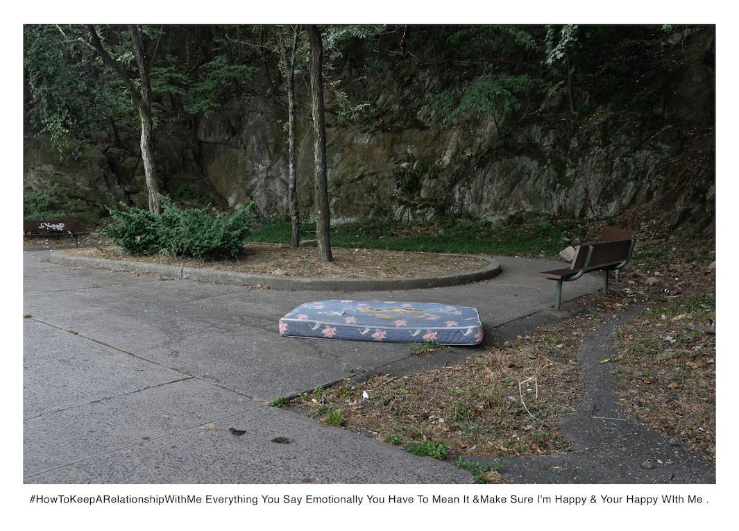
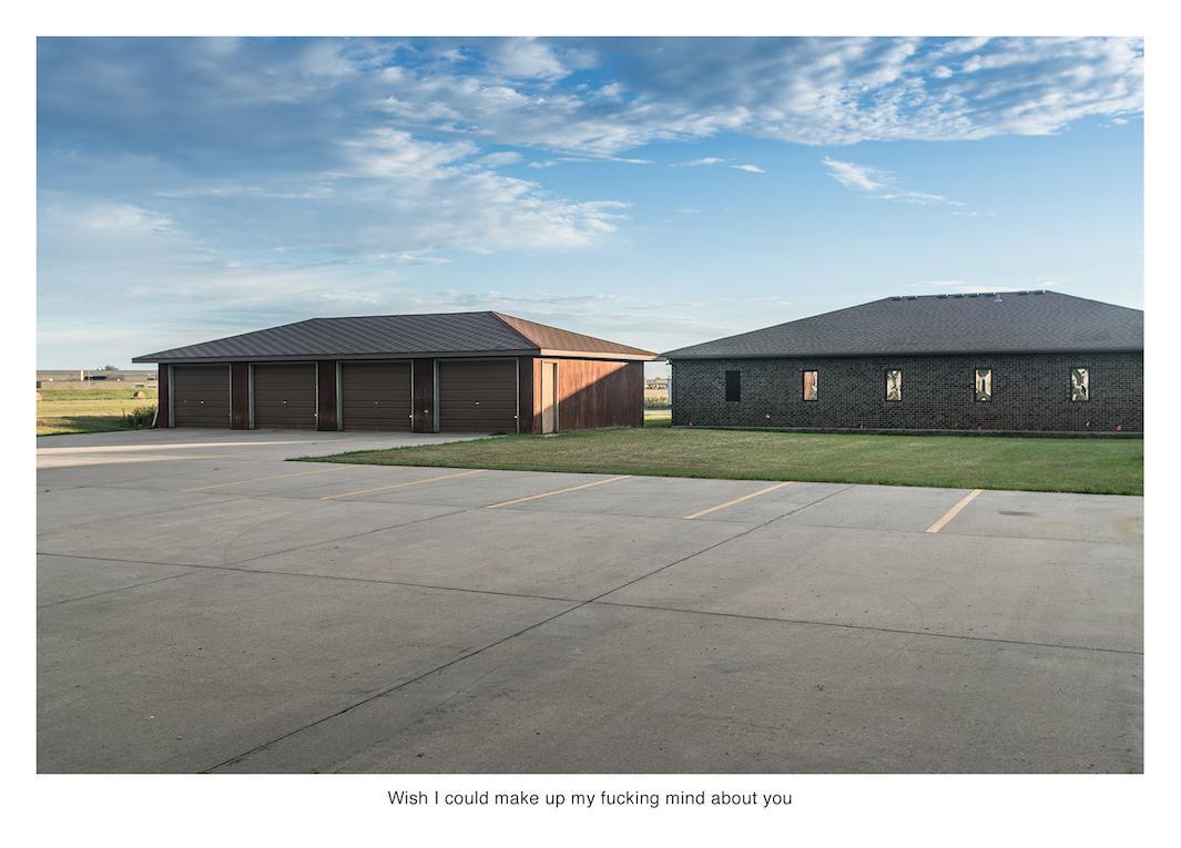
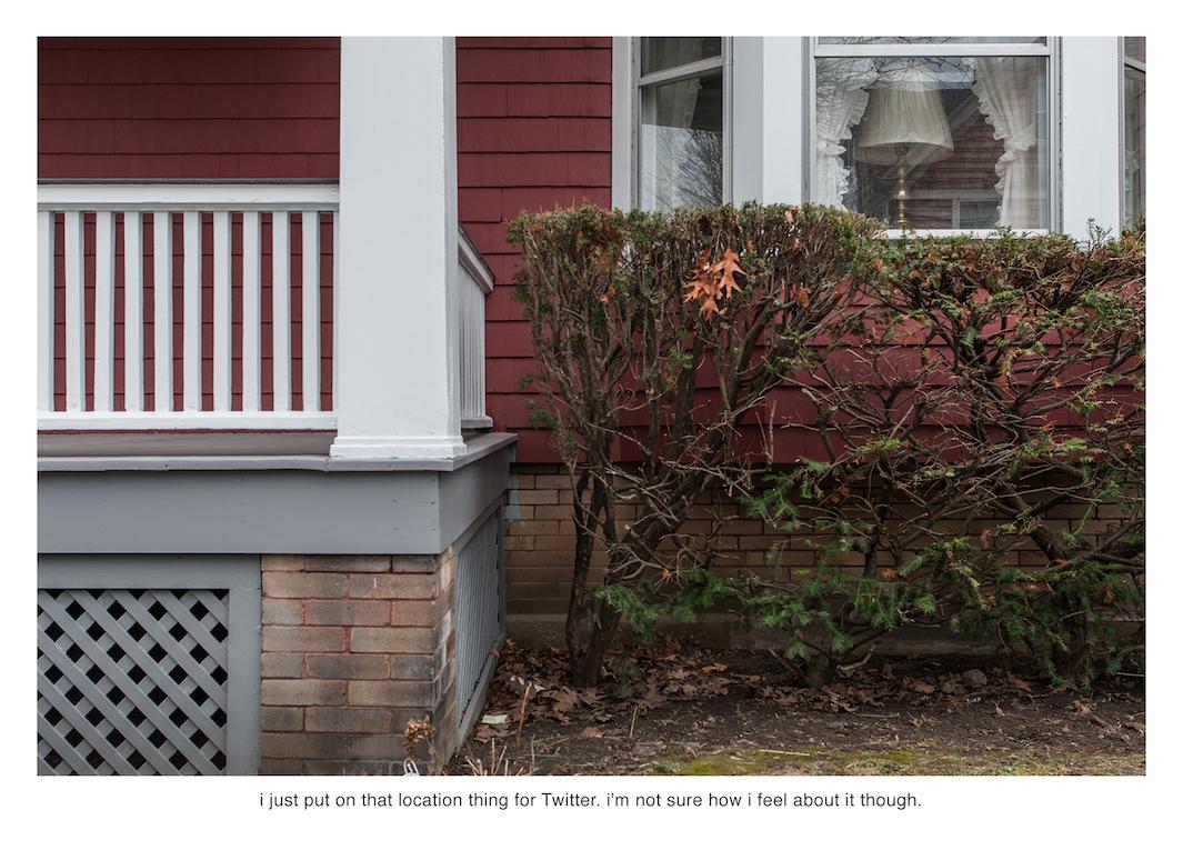
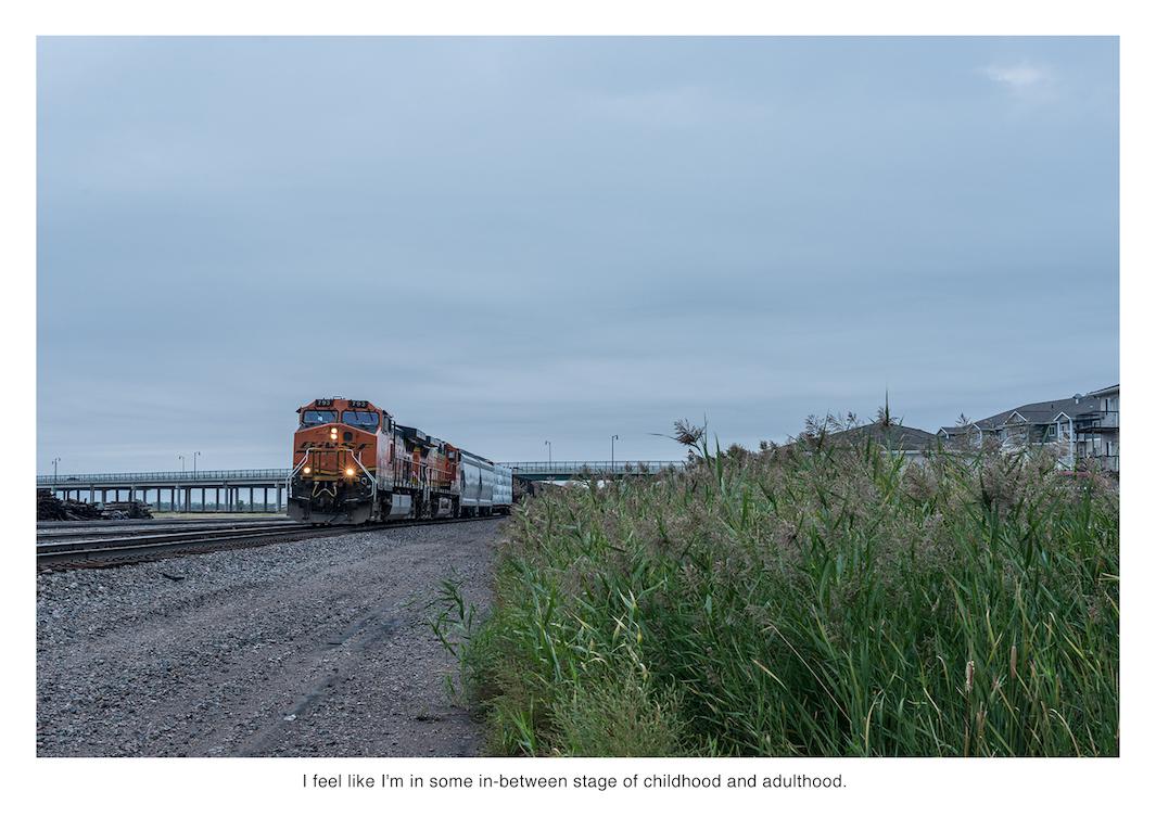
Approximately 500 million tweets are sent daily, but most of them aren’t worth investigating, the pair said. But enough are intriguing to keep the duo busy. In big cities, they said, they’ve tried following hashtags, such as #HowToKeepARelationshipWithMe. Elsewhere, they simply look for tweets that contain humor or pathos. Tweets that already convey a sense of loneliness or boredom are often made more poignant with an accompanying image of a deserted place, and others are made ironic when paired with an incongruent image.
Sometimes, of course, the locations don’t work out. Frequently, the pair follow GPS coordinates only to arrive at gas stations or parking lots with nothing to photograph. Other times, however, a location can enhance an otherwise uninspiring tweet.
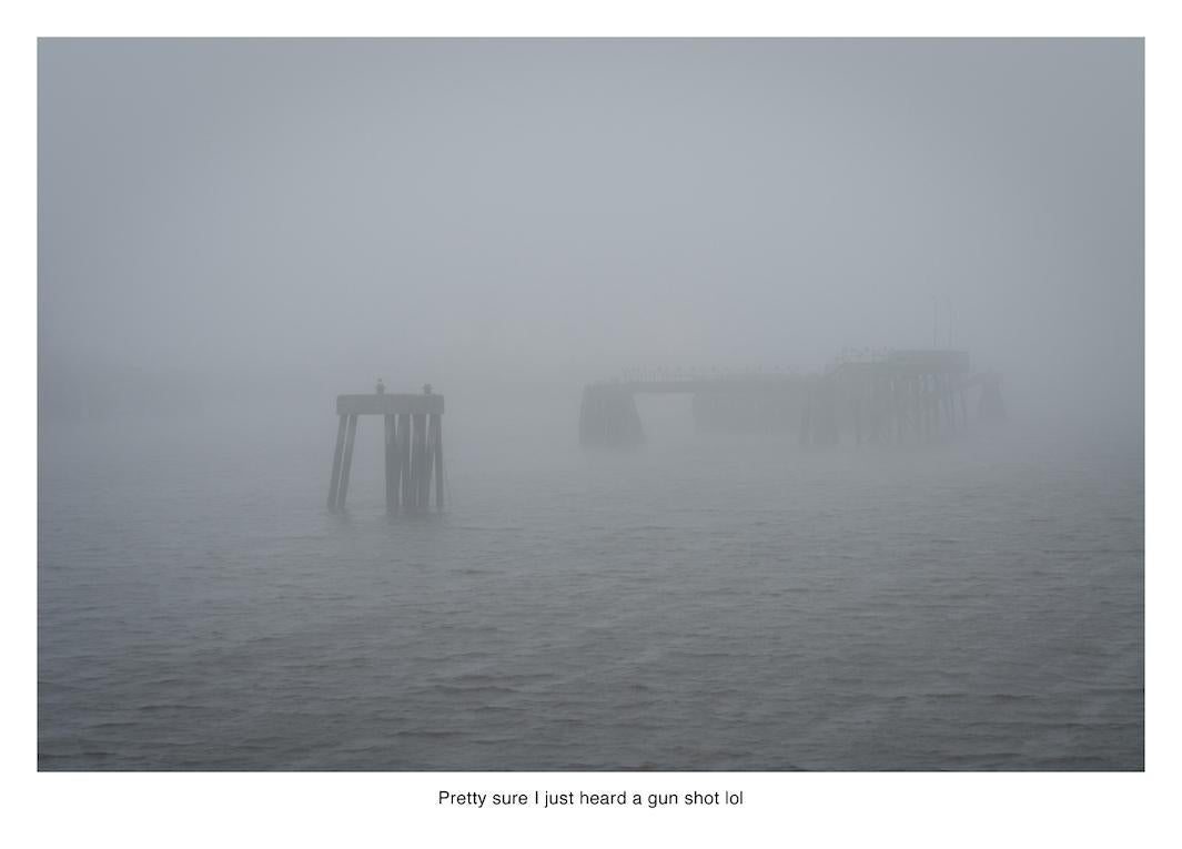
“One was, ‘Pretty sure I just heard a gun shot lol,’ and I thought that was the dumbest tweet ever. But I got to the site and it was in New Brunswick, where the old port was; it was really foggy and atmospheric. I just imagined hearing that gunshot and what you’d do in that isolated situation. It made everything come together,” Larson said.
When the pair encounters people on location, they’ve been variously mistaken for real estate agents, trespassers, and cops. They’ve both started wearing construction vests in the hopes that they’ll be overlooked when they’re out working.
“Once in New York, I photographed a federal immigration building, and they did not like that. I was only briefly detained for about 10 minutes. In general, we don’t trespass, and we’re pretty respectful,” Larson said.
This summer, the pair will be traveling to St. Petersburg, Russia, where they hope to continue “Geolocation” using data from other social networks. While Twitter has been fruitful for source material so far, they say the success of the project is not dependent on any specific technology.
“It’s not really about Twitter. It’s about how we’re reaching out to each other or not,” Shindelman said.

Nate Larson and Marni Shindelman
Nate Larson and Marni Shindelman
Nate Larson and Marni Shindelman
Nate Larson and Marni Shindelman