Every now and again, I get a sudden reminder that Mars is not just an ochre point of light in the sky. It’s a world.
Points of light have no dimension, just color and magnitude. But worlds are rich, diverse, with varying terrains, geography, forces in motion and in balance. The difference between viewing a planet from afar and from up close is the difference between seeing it and knowing it.
Mars is like that. I’ve seen it countless times by eye and by telescope. Even when it’s relatively close to Earth it still appears small, and features as big as continents are fuzzy. Don’t misunderstand me: It’s still astonishing, seeing a planet unfold through the eyepiece, knowing the light entering your eyes traveled across millions of kilometers of space. But again, to truly know this planet, we go there.
HiRISE is a camera on board the Mars Reconnaissance Orbiter, and has been taking high-resolution images of the planet for years. I am a great admirer of the camera and the humans who designed, built, and operate it; I’ve written about its images dozens of times.
That’s why I was thrilled to be asked to record an audio caption for one of their image releases: “Spring Slide”. You can listen to my recording, or watch this short video they put together:
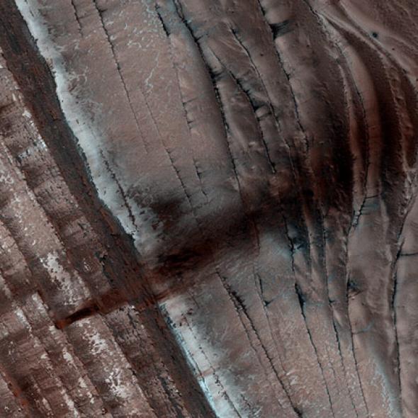
The image at the top of this post is from that release: It shows a flow of dark material down a steep scarp, or cliff. When sunlight hits the incline it warms the ground, causing the carbon dioxide ice under the surface to turn directly into a gas. This undermines material above it, dislodging it and sending it cascading down the slope. Sometimes these can cause avalanches, many of which have been caught in progress by HiRISE as they spill down to the land below, creating giant dust clouds.
The image here is part of a much larger, sweeping region of the scarp:
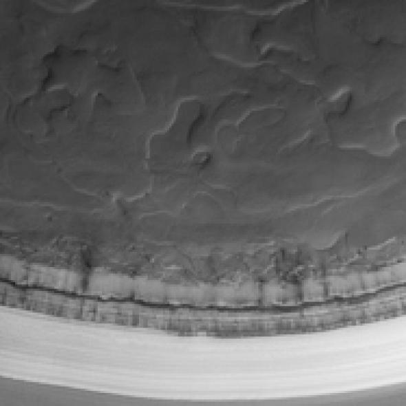
Photo by NASA / JPL / University of Arizona
You really need to click that and see it in full resolution. It’s stunningly beautiful. The feature is located at a latitude of 85° north on Mars, just 300 kilometers (180 miles) from the north pole. The image covers a region about 30 kilometers across.
How long has that scarp sat there? I don’t know. Like most things on Mars, it’s probably very old, tens of millions of years old. Perhaps much more. Over the eons the thin air, fast winds, and changing seasons have eroded it. It changes, just very very slowly. We are seeing a razor-thin slice of time carved out of ancient history.
And this is precisely what I mean: Mars is a world, worthy of our exploration. HiRISE lets us do that, and I’m glad I got to share a small part of it.