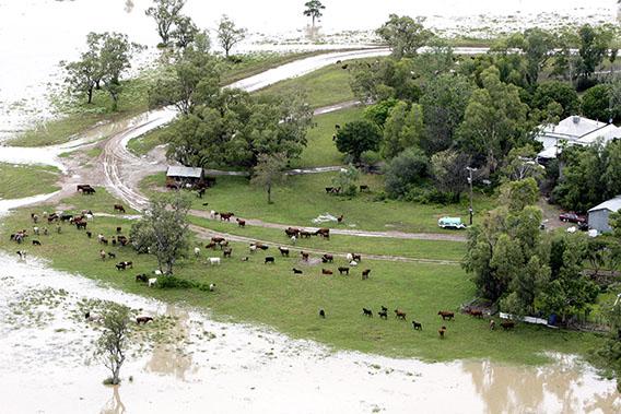
National Geographic photographer George Steinmetz was arrested for trespass on June 28 after circling his paraglider over a Kansas cattle feedlot, according to an Associated Press report published Wednesday. Local officials say Steinmetz didn’t have permission to launch his flyer from the property or to take photos from the air. Can you keep people from gliding over your property?
Up to a point. Before the advent of air travel, landowners owned an infinitely tall column of air rising above their plot. (The Latin doctrine was Cujus est solum ejus usque ad coelum, or “whose is the soil, his it is up to the sky.”) In 1946 the Supreme Court acknowledged that the air had become a “public highway,” but a landowner still had dominion over “at least as much of the space above the ground as he can occupy or use in connection with the land.” In that case the court held that a plane flying just 83 feet in the air—the commotion was literally scaring the plaintiff’s chickens to death—represented an invasion of property. The justices declined to precisely define the height at which ownership rights end. Today, the federal government considers the area above 500 feet to be navigable airspace in uncongested areas. While the Supreme Court hasn’t explicitly accepted that as the upper limit of property ownership, it’s a useful guideline in trespass cases. Therefore, unless you own some very tall buildings, your private airspace probably ends somewhere between 80 and 500 feet above the ground. Paragliders and hang gliders can easily soar above that height, so your ability to exclude a snooping gliding enthusiast appears to be limited. (It should be noted that the vast majority of complaints about trespassing hang gliders result from their landing on, not flying over, private property.)
The upward boundaries of private property may be changing. The federal government is considering lowering the floor of navigable airspace below 500 feet to accommodate surveillance drones, which sometimes travel at lower altitudes. The move has alarmed some local governments. Earlier this month the City Council of Northampton, Mass., voted unanimously to adopt a resolution opposing any attempt to expand navigable airspace. In February the Charlottesville, Va., City Council called for a two-year moratorium on drones in the state.
Government drones get most of the media attention, but privately owned models, which are now affordable for many groups and individuals, are becoming a flashpoint. Paparazzi, media organizations, or just about anyone who wants a look at private land will soon have the technology. FAA Administrator Michael P. Huerta predicts that there could be 30,000 licensed drones by 2020.
In 2012 the animal rights group SHowing Animals Respect and Kindness flew a drone over a planned pigeon shoot at Broxton Bridge Plantation in South Carolina, causing the hunters to abandon the shoot. A dispute arose over whether the drone was above public or private land, but the hunters shot it down before fleeing the scene. The drone owners vowed to sue for destruction of their property.
Got a question about today’s news? Ask the Explainer.