How much is it going to snow Thursday? As a meteorologist, the bane of my existence is predicting snow. It is the most difficult forecast I make with dozens of different ways it can go wrong. More troubling, it’s probably the forecast most scrutinized before and after the fact.
But why? What is it about snow that makes it so tough to pin down?
Though temperatures at ground level are important, the critical numbers for assessing snowfall are much higher up in the atmosphere. We’re looking for ice crystal growth, which happens when the air is wet enough and cold enough—sometimes down to -20° Fahrenheit, though the biggest snow growth happens at somewhat warmer temperatures.
The ice crystals start small, but as they collide, they grow, until finally they’re large enough and heavy enough to fall to Earth. Snow is water plus air—air being very important. It’s the fluff factor, the reason an inch of water can be 5 inches of snow or 30 inches or something in between. The snow liquid ratio, or SLR, is different for every storm (high SLRs are good for skiing, bad for snowballs). And that’s what we’re trying to predict—how much liquid is going to produce how much snow.
Most snowstorms are driven by low pressure systems hundreds of miles across. Around the low, warm air rises and cools. That causes water vapor in the air to condense and form clouds. Liquid droplets come next until gravity and temperature begin to dominate. For those who live in snow belts there’s a second method to produce snow, the lake effect. Assessing these two methods of snow production should allow you to get a good idea of how much snow to expect, but often your final estimate is really the combination of two estimates.
The process is very exacting, intricate even. When temperatures are cold enough and the wind properly aligned through the atmosphere, lake effect snow produces narrow bands of intense snow that are extremely hard to predict. For example, I drove from Buffalo, New York, to Erie, Pennsylvania, one winter’s day. Downtown Buffalo had flurries, but as I headed into the “Southtowns,” conditions became dicey. The snow rate was a few inches an hour. And then, a few miles later along Lake Erie’s shore, the snow stopped, clouds parted, and the sun came out. My trip back saw the exact same conditions in the exact same places. Nothing had moved.
Marquette, Michigan, is a good example of how this makes forecasting more difficult. Not only does Marquette get your run-of-the-mill winter storms, it also gets lake effect snow. Lake effect there has an SLR in the 30 to 40:1 range, meaning that one inch of liquid equals 30–40 inches of snow. The larger storms that pass through are 10 to 15:1. Figuring out how this hybrid storm is going to combine includes a lot of room for error. Luckily, Marquette averages around 17 feet of snow per year—lots of time to practice.
So we forecast the amount of water, then how that water will act as it drops. Most of the time the atmosphere warms as the flakes fall … but not always. What starts in the clouds as snow can fall as sleet, rain, freezing rain, or even graupel (snowflakes pocked with rime ice). The form it falls in obviously changes how much snow ends up on the ground.
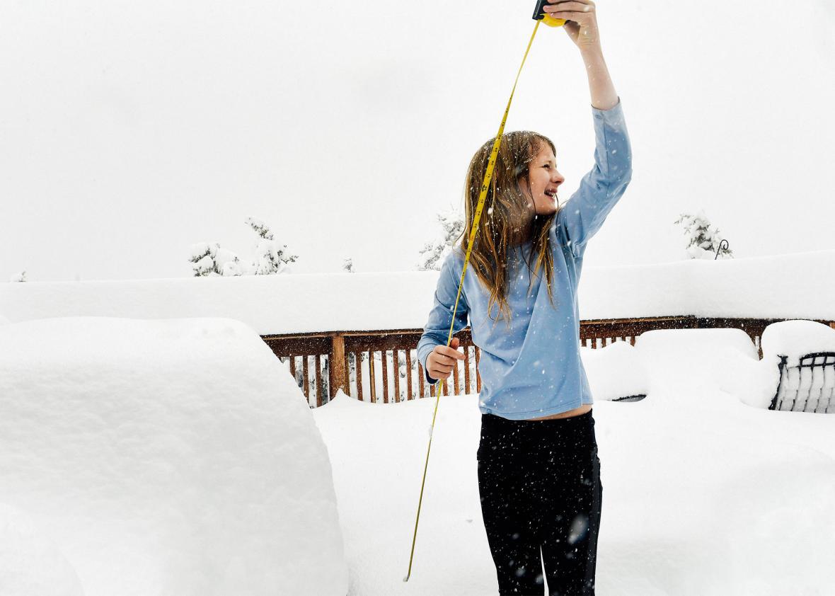
When and how you measure snow affects the final total, too. Officially it’s measured off the ground on a “snow board,” usually a large piece of plywood. Snowflakes fill gaps in the snow pile as they fall. Measuring every hour, without giving the snow time to settle will give a higher amount than measuring every six.
Over the years forecasts have improved. There are fewer busts. One reason we’ve gotten better is through improved computer modeling: We can now look at the atmosphere a little more finely. The grid points and time steps are closer together. The mathematical integration of physics is better honed.
Your mileage may vary, but accumulation amounts now have real-world usefulness. I couldn’t always say that. I still hate forecasting it, though.