It’s now been over a week since NASA’s Mars rover Curiosity landed on Mars, after successfully surviving the notorious final “seven minutes of terror.” Curiosity has been busy at work since, taking measurements, sending back data, and capturing all kinds of images on its various cameras. In case you haven’t been carefully paying attention as the photos make their way to Earth bit by bit, these are the most interesting images among the hundreds that have emerged so far.
NASA/JPL-Caltech/Malin Space Science Systems.
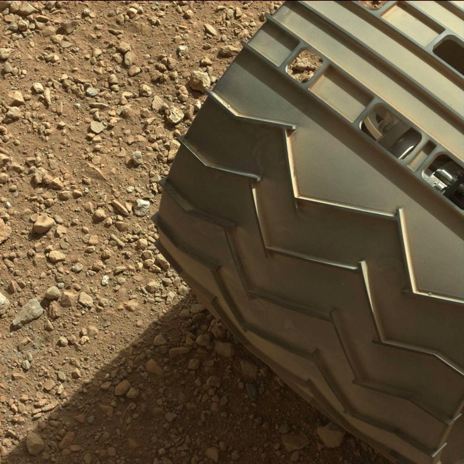
A close-up of one of the rover’s wheels. Curiosity is currently at Gale Crater, a place NASA scientists believe could harbor signs of microbial life, from the past or present.
NASA/JPL-Caltech/MSSS
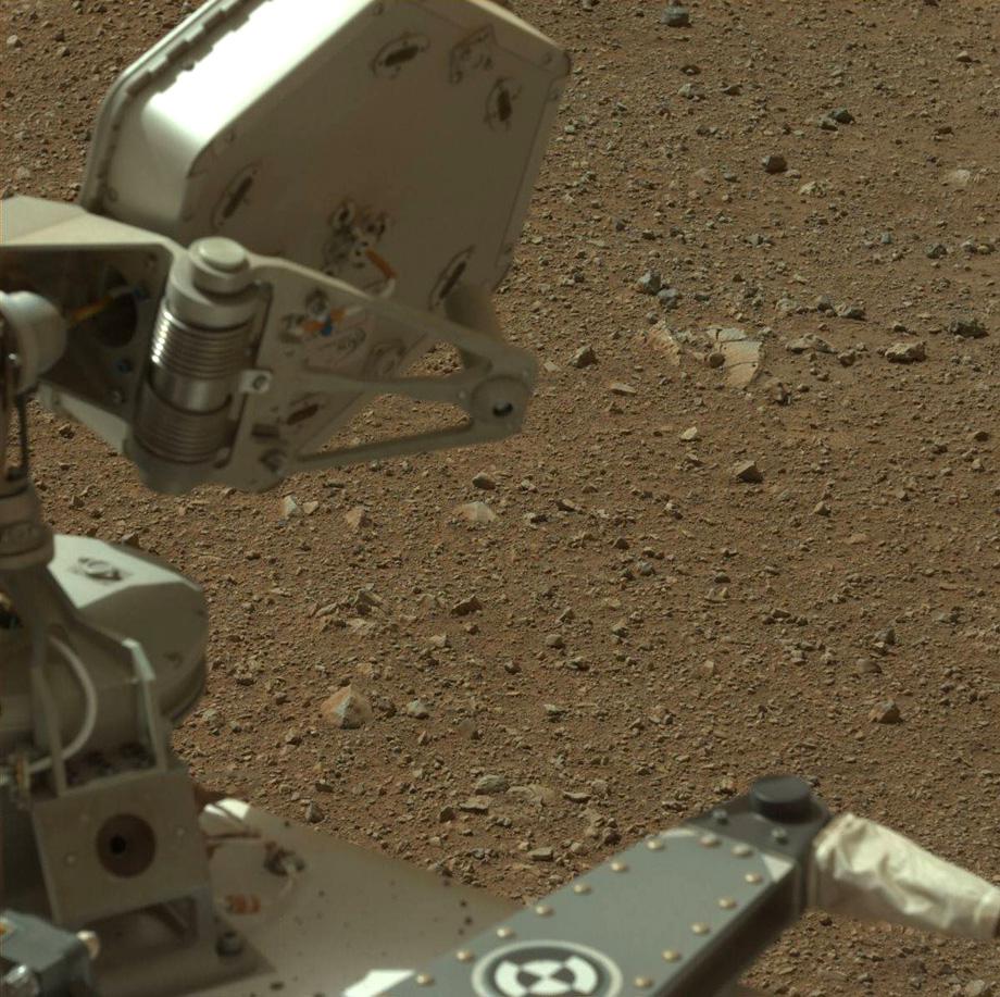
What are those blue rocks doing on the Red Planet? The rocks would not look blue on Mars, but if they were brought back to Earth, they would. The photo is “white balanced,” or adjusted to replicate how a similar situation would look on Earth (less red dust, mainly). Geologists find these useful because they use color (as seen on Earth) to assess different properties of rocks.
NASA/JPL-Caltech/MSSS
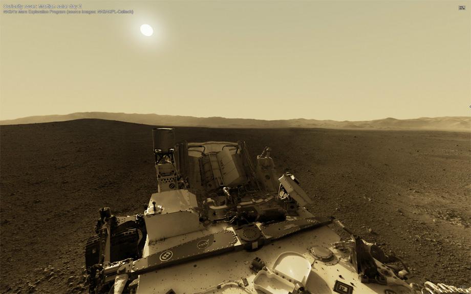
This screenshot comes from an interactive panorama put together by photographer Andrew Bodrov at the panorama photography website 360Cities.net using images from NASA. Bodrov retouched the images and added the sun in the sky, using an image captured by NASA Mars rover Spirit in 2005 as a guide.
Andrew Bodrov/360Cities.net/NASA/JPL/Caltech.
This image shows the inside surface of Curiosity’s heat shield, layers of protective insulation measuring 15 feet in diameter, that guard the rover from the intense heat generated by entry into the Martian atmosphere. The photo was obtained about three seconds after the heat shield separated and about two minutes before touchdown.
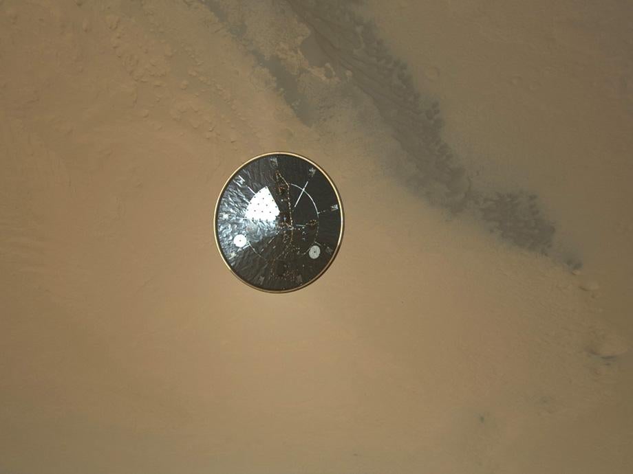
NASA/JPL-Caltech/MSSS.
The Mars Descent Imager (MARDI), a camera on board the Curiosity designed to take photos during the descent to Mars, took this image of the heat shield plummeting to the Martian surface. You can watch a video of it here.
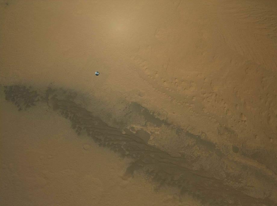
NASA/JPL-Caltech/MSSS.
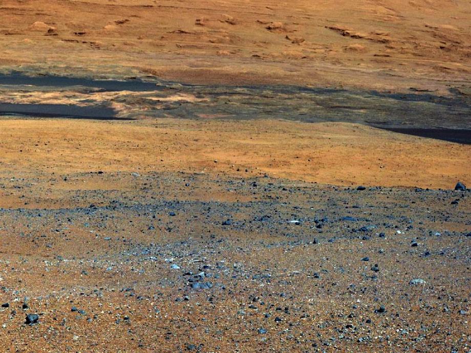
Curiosity captured this image of the wall of Gale Crater, north of where the rover first landed. This is the first close look at a fluvial system, relating to a river or stream, from the surface of Mars. Close by is a network of valleys dating from a period in Martian history, millions or even billions of years ago, when water flowed abundantly on its surface.
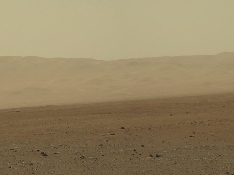
NASA/JPL-Caltech/MSSS.
This color-enhanced view taken by NASA’s Mars Reconnaissance Orbiter as the satellite flew overhead shows the terrain around the rover’s landing site within Gale Crater. Colors were enhanced to bring out subtle differences, showing that the landing region is not as varied as regions closer to Mount Sharp, further south. The blue colors in the lower portion of the picture are dark dune fields.
NASA/JPL-Caltech.
NASA/JPL-Caltech/University of Arizona
.